


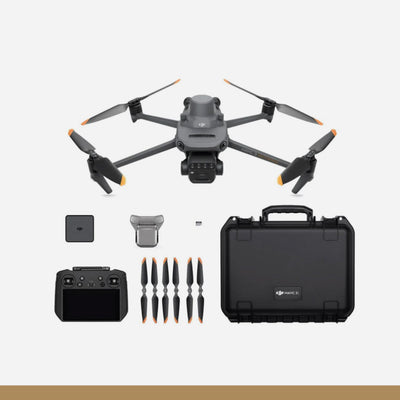
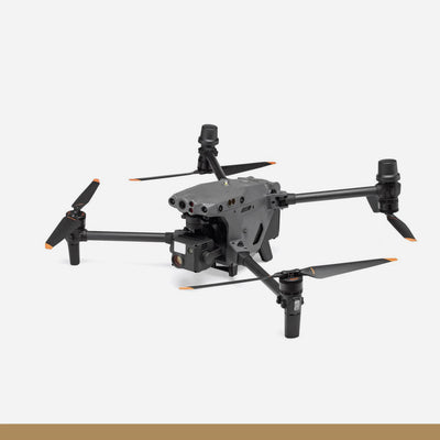
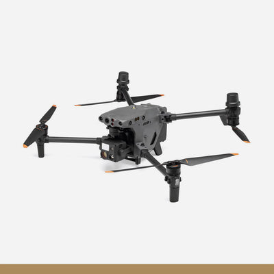
DJI Zenmuse L3
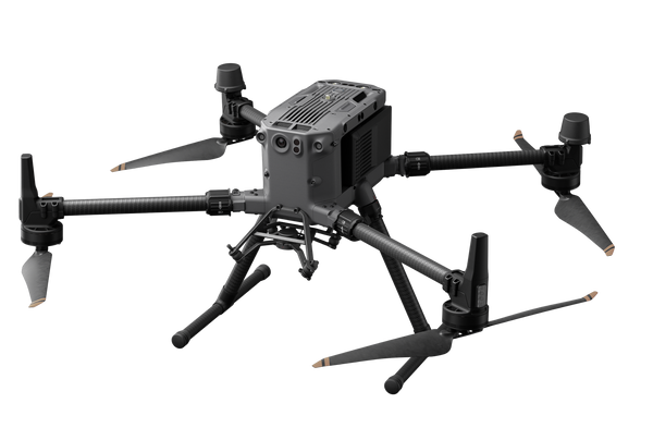
The Zenmuse L3 is DJI’s flagship integrated LiDAR payload engineered for high-precision aerial surveying, powerline inspection, and large-scale mapping missions. Combining a high-performance LiDAR module, dual RGB mapping cameras, and an advanced Position and Orientation System (POS), it delivers centimeter-level accuracy even at high flight altitudes.
Built for enterprise-grade operations, the Zenmuse L3 supports multiple scanning modes, up to 2000 kHz pulse repetition frequency, multi-return capability, and seamless integration with DJI’s full software ecosystem. Designed specifically for the DJI Matrice 400, it ensures efficient data collection, robust environmental resistance, and reliable performance in demanding field conditions.
Specifications:
| Category | Specification |
|---|---|
| Product Name | Zenmuse L3 |
| Weight | 1.60 kg (without single gimbal connector) |
| Single Gimbal Connector Weight | 145 g |
| Dimensions (L×W×H) | 192 × 162 × 202 mm |
| Power Consumption | 64 W (Typical), 100 W (Max) |
| Supported Aircraft | DJI Matrice 400 (requires Zenmuse L3 single gimbal connector) |
| Ingress Protection | IP54 |
| Operating Temperature | -20° to 50° C |
| Storage Temperature | -40° to 70° C |
Point Cloud Performance
| Specification | Details |
|---|---|
| Accuracy @120m | Vertical: 3 cm (RMSE) • Horizontal: 4 cm (RMSE) |
| Accuracy @300m | Vertical: 5 cm (RMSE) • Horizontal: 7.5 cm (RMSE) |
| Point Cloud Thickness | 1.2 cm @1σ (120m) • 2 cm @1σ (300m) |
| Combined Horizontal FOV (Dual RGB) | 107° |
| RGB GSD (300m) | Avg. 3 cm |
LiDAR System
| Specification | Details |
|---|---|
| Laser Wavelength | 1535 nm |
| Beam Divergence | 0.25 mrad (1/e²) |
| Spot Size | Φ41 mm @120m • Φ86 mm @300m |
| Detection Range | 700m @10% reflectivity (350 kHz) • 950m @10% (100 kHz) • 2000m @80% (100 kHz) |
| Minimum Detection Distance | 10 m |
| Pulse Frequency | 100 / 350 / 1000 / 2000 kHz |
| Number of Returns | Up to 16 returns (mode dependent) |
| Scanning Modes | Linear (80°×3°) • Star-shaped (80°×80°) • Non-Repetitive (80°×80°) |
| Laser Safety | Class 1 (IEC 60825-1:2014) |
| Ranging Accuracy | ±10 mm absolute • <5 mm repeatability (1σ) |
| Wire Detection | 300m (21.6mm wire) • 100m (18.4mm PVC wire) |
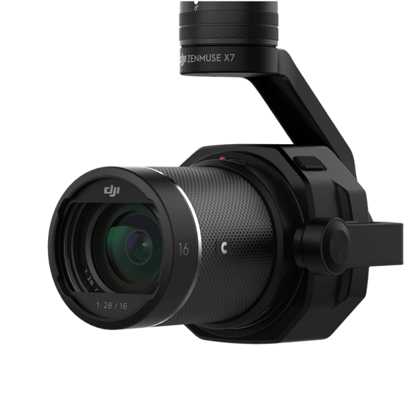
RGB Mapping Camera
| Specification | Details |
|---|---|
| Sensor | 4/3 CMOS |
| Effective Photo Size | 100 MP (12288×8192) • 25 MP (6144×4096) |
| Lens | 28mm equivalent |
| Aperture | f/2.0 – f/11 |
| Mechanical Shutter | 2–1/1500 s (f/2.0) • 2–1/2000 s (f/2.8–f/11) |
| Electronic Shutter | 2–1/16000 s |
| Minimum Photo Interval | 0.5 s (25 MP JPEG) • 1 s (100 MP JPEG) • 1.2 s (RAW) |
| Video Format | MP4 (H.265) |
| Video Resolution | 4K@30fps • FHD@30fps |
Position & Orientation System (POS)
| Specification | Details |
|---|---|
| GNSS Update Rate | 5 Hz |
| POS Update Rate | 200 Hz |
| Attitude Error | Yaw: 0.02° • Pitch/Roll: 0.01° (post-processed) |
| RTK Positioning Accuracy | Horizontal: 1.0 cm + 1 ppm • Vertical: 1.5 cm + 1 ppm |
| PPK Formats Supported | DAT • RINEX v2.1x/v3.0x • RTCM v3.x (MSM3–7) • OEM4/OEM6 |
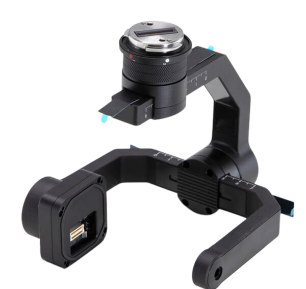
Gimbal
| Specification | Details |
|---|---|
| Type | 3-axis (Pitch, Roll, Yaw) |
| Angular Accuracy | ±0.01° |
| Mechanical Range | Pitch: -135° to +73° • Roll: -90° to +60° • Yaw: -105° to +105° |
| Controllable Range | Pitch: -120° to +60° • Yaw: -80° to +80° |
| Mounting Method | Detachable DJI SKYPORT |
Data & Software Ecosystem
| Category | Details |
|---|---|
| Storage Media | CFexpress™ Type B (1500 MB/s write) |
| Card Reader Speed | >900 MB/s |
| Raw Data Storage | Photo / IMU / Point Cloud / GNSS / Calibration |
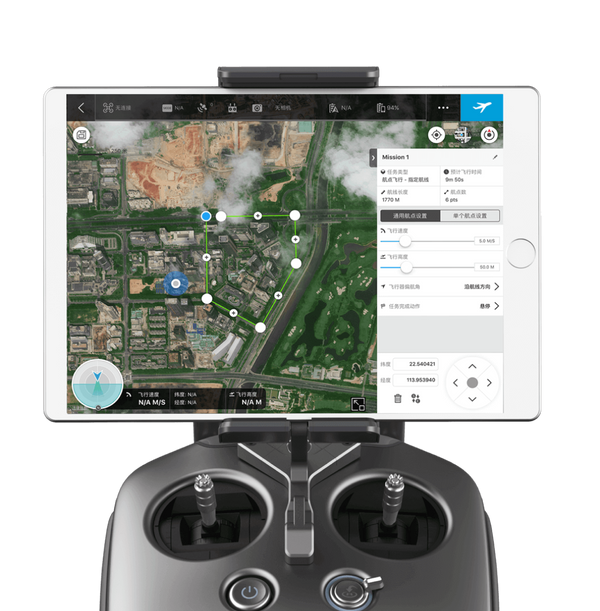
| Data Collection | DJI Pilot 2 |
| Data Processing | DJI Terra |
| Data Application | DJI Modify |
| Cloud Platform | DJI FlightHub 2 |
| Export Formats (Terra) | PNTS / LAS / LAZ / PLY / PCD / S3MB |
| Import Formats (Modify) | LAS |
You may also like
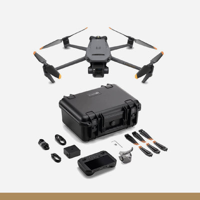
DJI Mavic 3 Enterprise
Drone
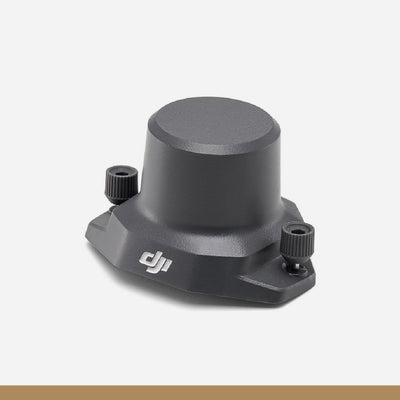
DJI Mavic 3 Enterprise Series RTK Module
Drone Accessories
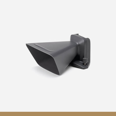
DJI Speaker for Mavic 3 Enterprise
Drone Accessories
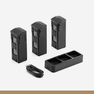
DJI Mavic 3 Enterprise Series Battery Kit
Drone Accessories
DJI Mavic 3 Multispectral
Drone
DJI Matrice 30
Drone
DJI Matrice 30T Enterprise Drone
Drone
DJI M30 TB30 Batteries
Drone Accessories
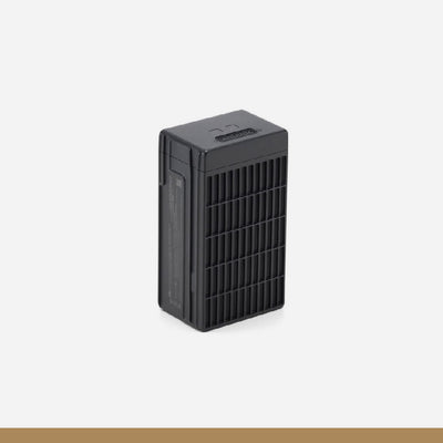
DJI Matrice 350 TB65 Intelligent Flight Battery
Drone Accessories
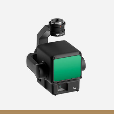
DJI Zenmuse L2
Drone Accessories
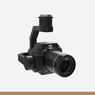
DJI Zenmuse P1
Drone Accessories
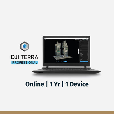
DJI Terra Pro Overseas Software
Drone Software
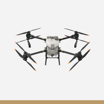
DJI AGRAS T50
Drone
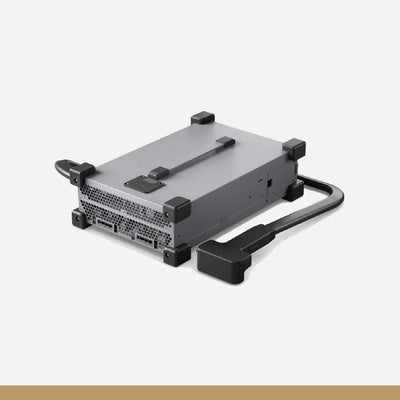
C10000 Intelligent Power Supply
Drone Accessories
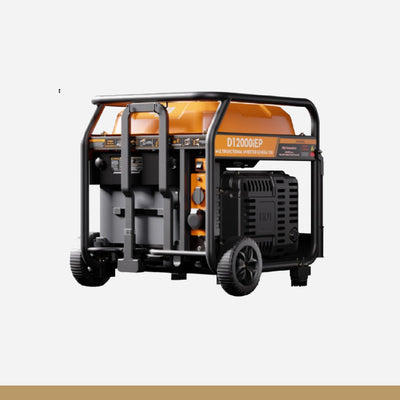
D12000iE Multifunctional Inverter Generator
Drone Accessories
DB1560 Intelligent Flight Battery
Drone Accessories
T50 Atomized Sprinkler Package
Drone Accessories
T50 Spreading System
Drone Accessories

DJI AGRAS T25
Drone
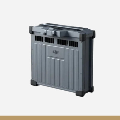
C8000 Intelligent Power Supply
Drone Accessories