Aerial Surveying
Manage land assets with significantly more details that can only be derived from aerial mapping using high resolution images
Learn more
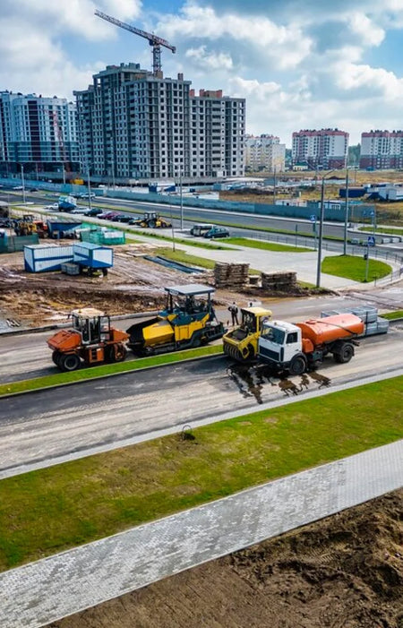
Progress Monitoring
Digitize the progress of projects to keep track and stay on schedule.
Learn more
Asset Management
Monitor and document the status of various assets on-demand using inspection drones.

Automated Flight Plans
Automated flight plans can provide an easy solution for routine inspection jobs.
Time Savings
Drones can cover larger areas in a shorter amount of time than a regular inspection crew.
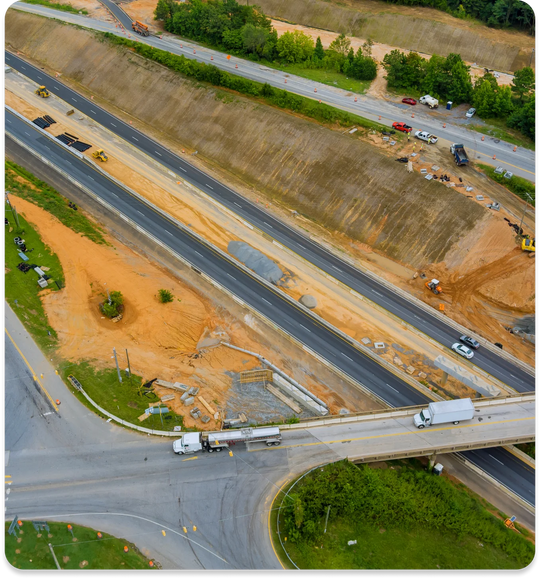
Land Surveying
Mapping and surveying activities are done with speed and accuracy using drones.
Photogrammetry
High-resolution images taken by drones help make an accurate map of the area being inspected.
Topographic Mapping
Elevation data is gathered using the precision LIDAR drone payload.
Advantages & Benefits
You get more when you work with Aero. Take your business growth to new heights with our enterprise drone solutions. Time Saving
Drones can be deployed and operational in a matter of minutes.
Cost Effective
Mapping and inspection jobs can be done quickly using UAVs, reducing man-hours and costs for the job.
Safe Operation
Long-range remote capabilities aid in ensuring that the operator remains safe and on the ground.
Increased Accuracy
With DJI RTK features, drone positional accuracy can reach up to <5cm levels.
Enhanced Data
Drone data is embedded in every image, facilitating report creation and annotation.
Adaptability
Different drone payloads allow for adaptability to almost any use-case.