Aerial Surveying
LiDAR mapping which leverages the Light Detection and Ranging Technology integrated into drones enables precise three-dimensional mapping and modelling. This technique is widely adopted in industries such as topographic surveying and mapping, and construction monitoring.
Drone-based LiDAR mapping facilitates enhance data collection, improve spatial analysis, and efficient mapping. Aero can provide training on drone operation, mission planning, processing of LiDAR data.

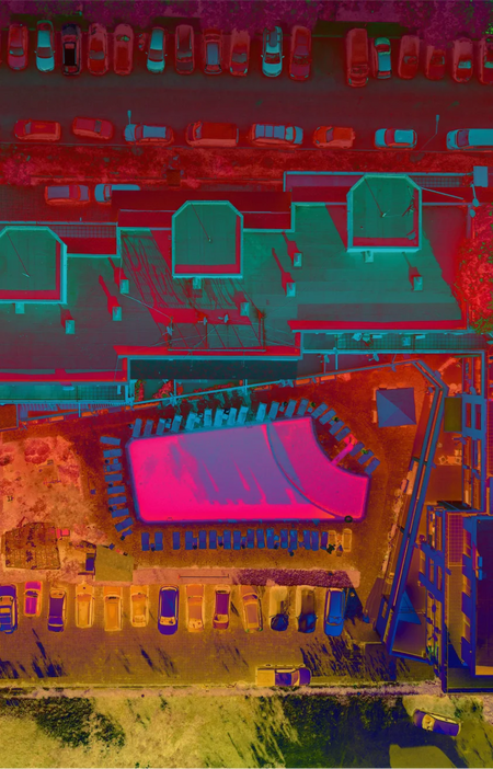
Process your point clouds
Point cloud data generated by the LiDAR payload can be used for a variety of applications.
Post-processing using DJI Terra can open up different possibilities in interpreting your data.

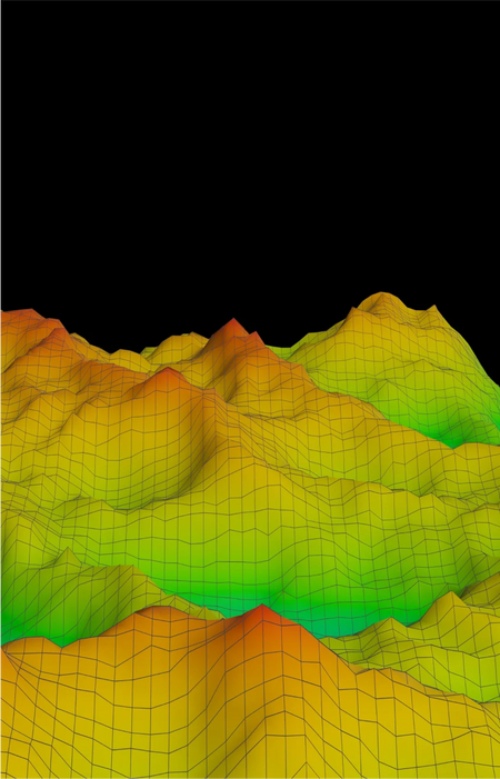
Topographic Maps
Generate topographic maps with elevation data using point clouds captured by LiDAR.
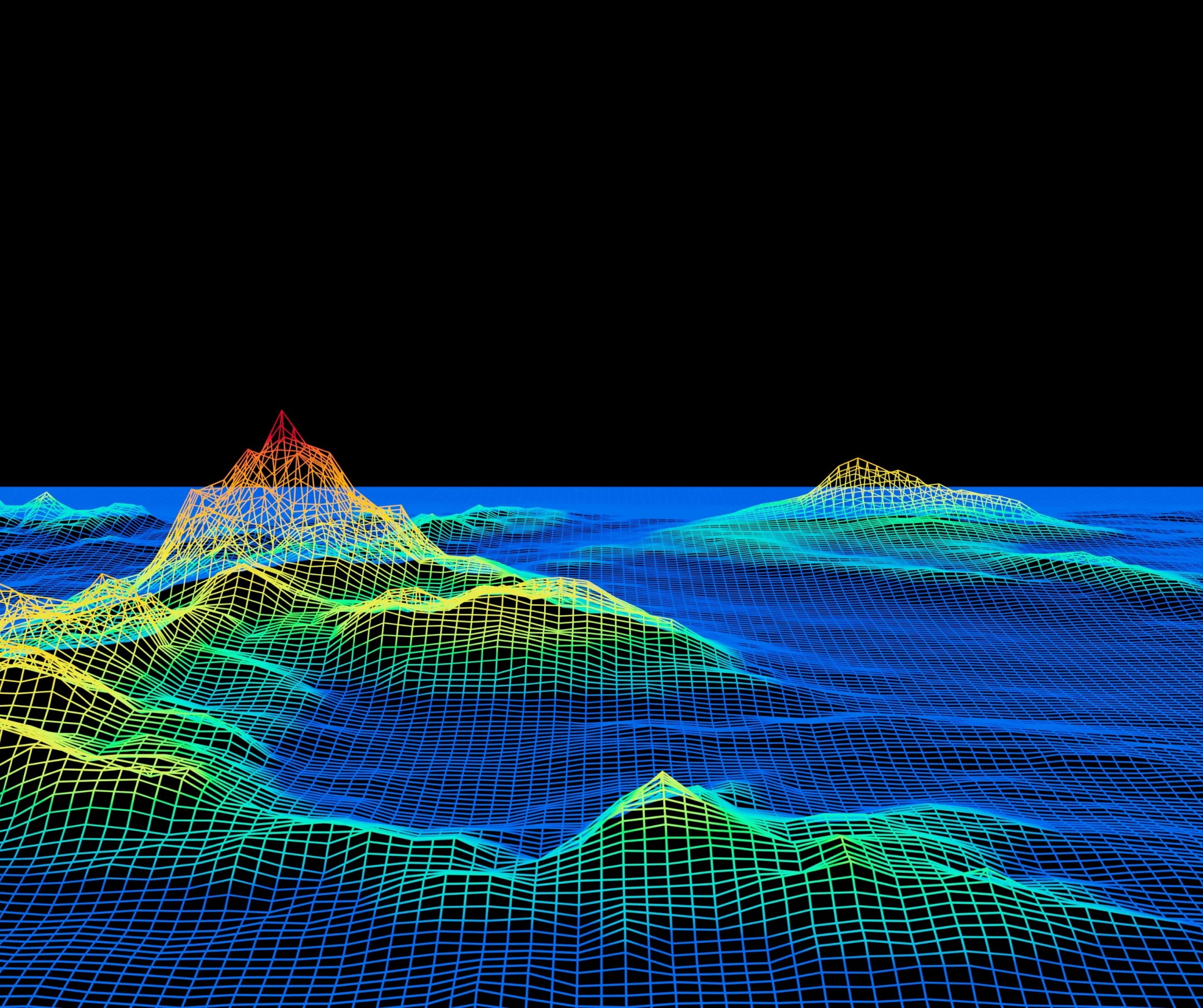
3D Modelling
Scan objects or landmasses then convert the data into an accurate 3D model.