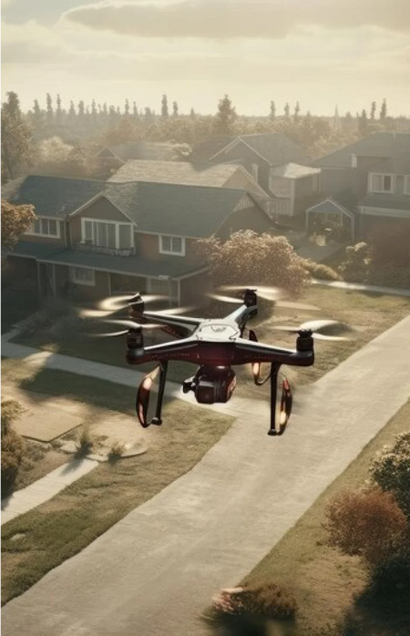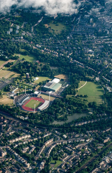

Use Case

Requirement-based Output
Aero can process your data and render the output based on your specific use-case. We can do an initial recommendation on what can be achieved using your input data.
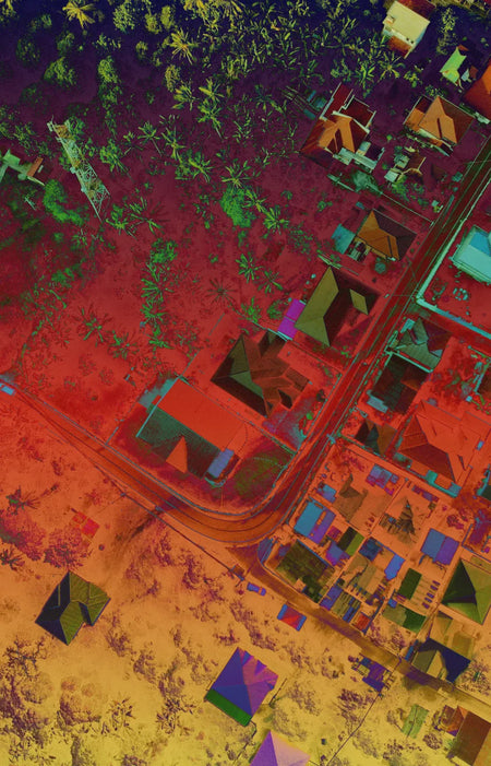
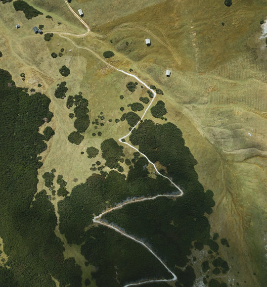
Aerial Maps
We can process your drone images to produce a detailed map with coordinate data.
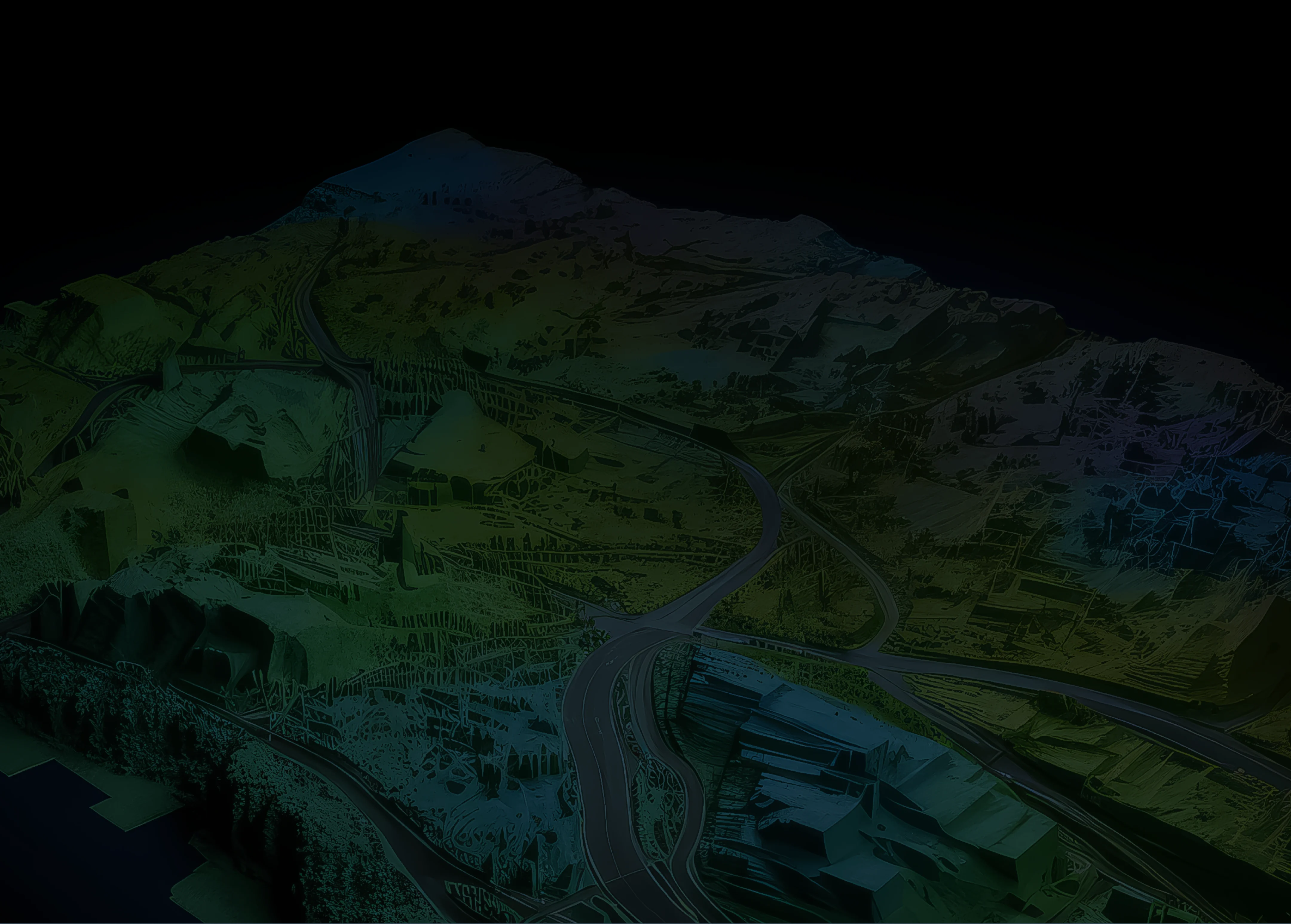
Topographic Maps
We can generate topographic maps with elevation data using point clouds captured by LiDAR