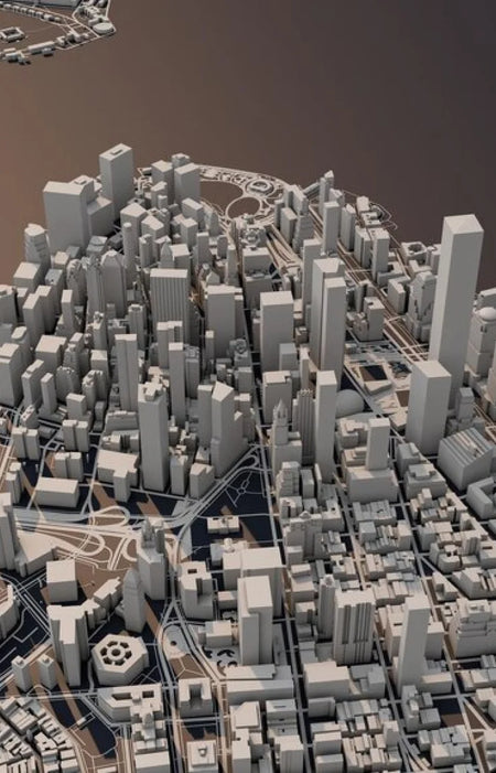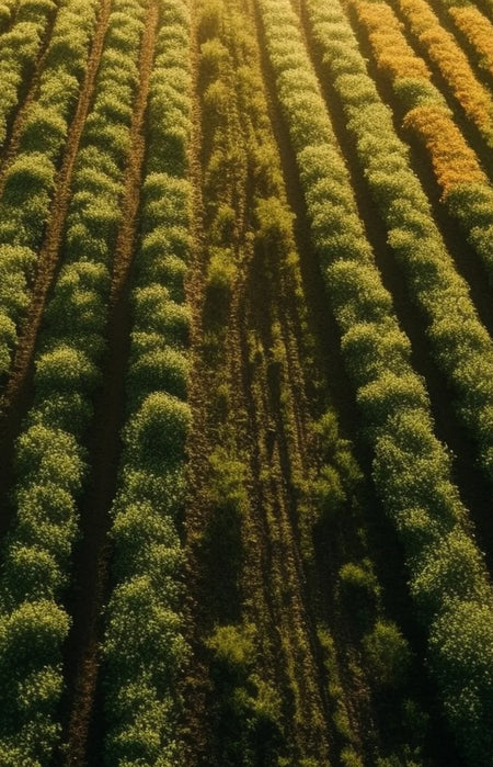
Orthomosaic 2D Maps
The drone flies over a delineated area in a flight pattern that allows multiple overlap of images. After data capture, post processing use Photogrammetry software to combine the images via triangulation, taking into consideration the position, altitude and orientation to generate the Orthomosaic Map.
Maps for specific demands
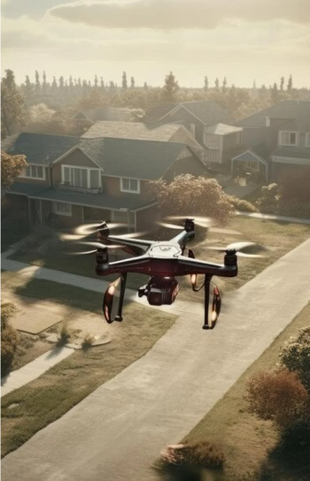
The versatility of drone mapping comes from the customization that can be done during data capture. Fly low for high resolution mapping or fly high for maximum coverage and faster map generation.

Local Coordinate Reference System
Maps can be tied to local coordinate system to maintain project compatibility with existing survey data
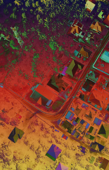
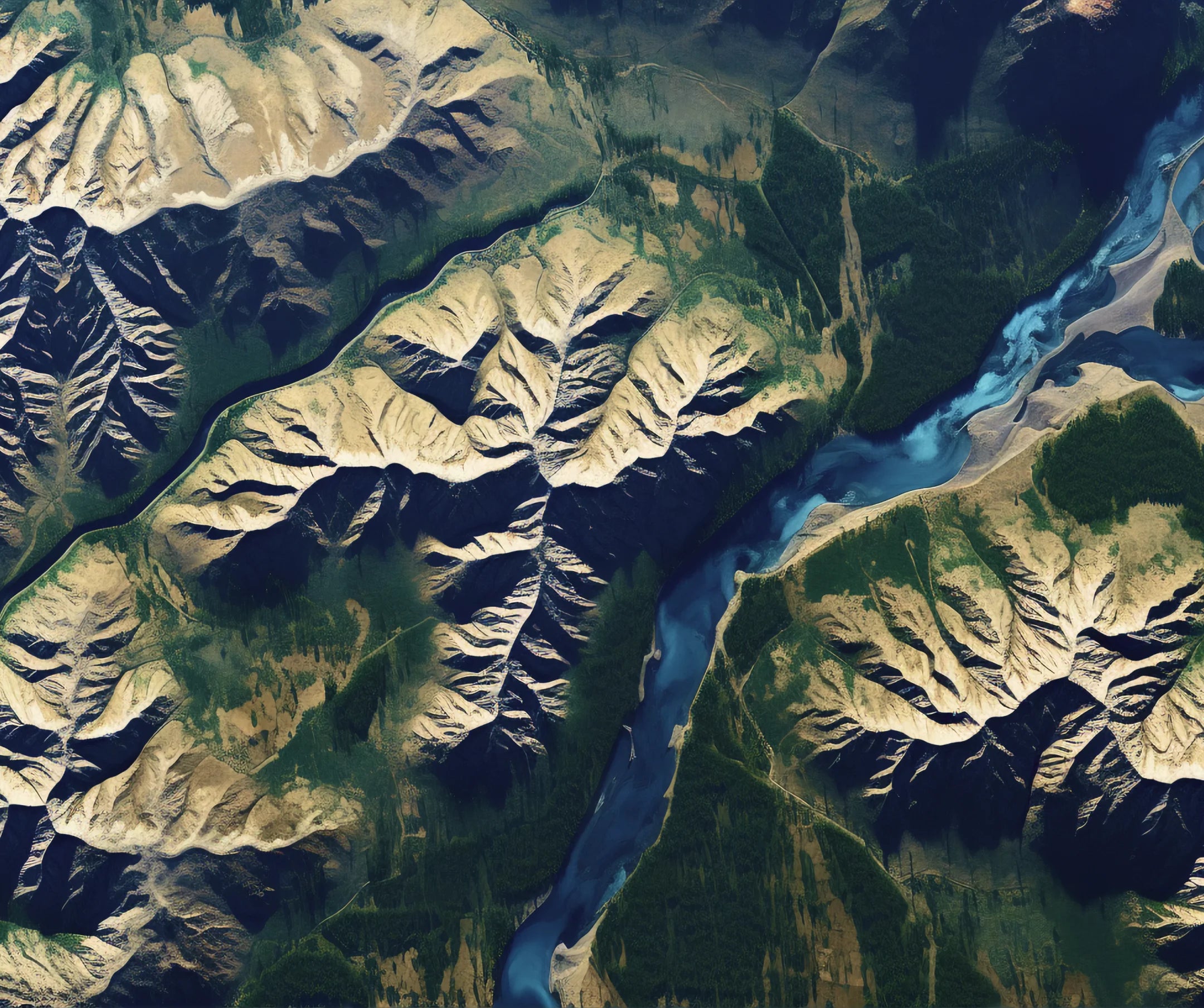
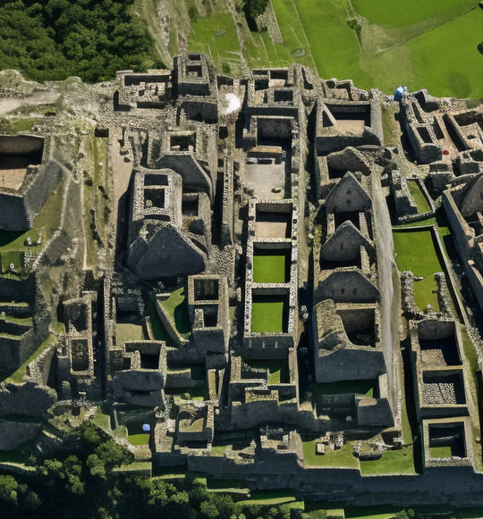
High Resolution Maps
Drones can take terrain information obstructed by clouds from satellite view and with full control on flight altitude, high resolution images down to centimeter level can be achieved.