Field Inspection
In Agriculture, drones enable rapid inspection of large areas of farmland. This facilitates faster decision making on how to maximize yields.

Damage Inspection
Drones can help show areas that have been damaged by pests and the extent affected.
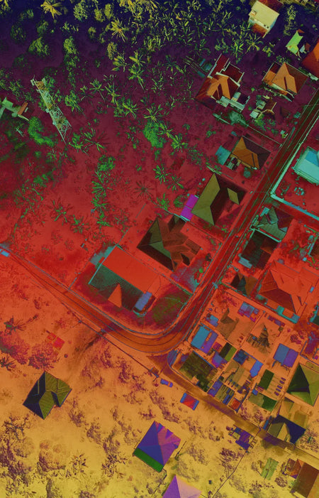
Plantation Planning
Mapping data taken by drones can help plan the layout of the farm based on existing terrain features.

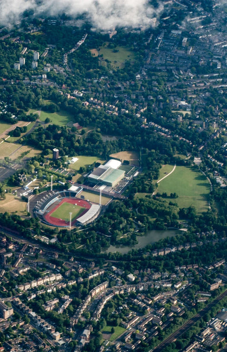
Aerial Mapping
In Defense, quickly generate accurate maps even in difficult terrain.
In Renewable Energy , planning for efficiency and sustainability starts with the big picture—high resolution maps from aerial mapping provides detailed terrain information.
In Search & Rescue, drone-generated maps are geolocated allowing accurate positioning data for locating and rescuing people in difficult terrain.
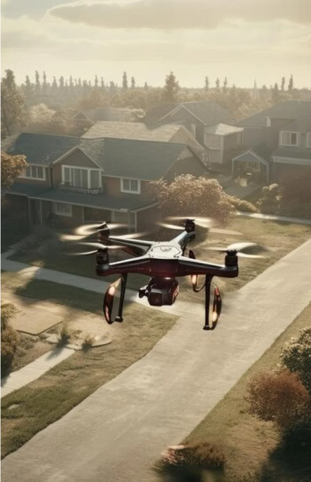
Accurate Positioning
Drone images are geolocated so that positioning data is always on-hand.
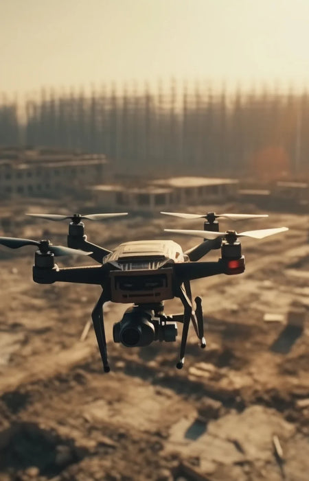
Rapid Deployment
Drones can cover large areas in a short amount of time.