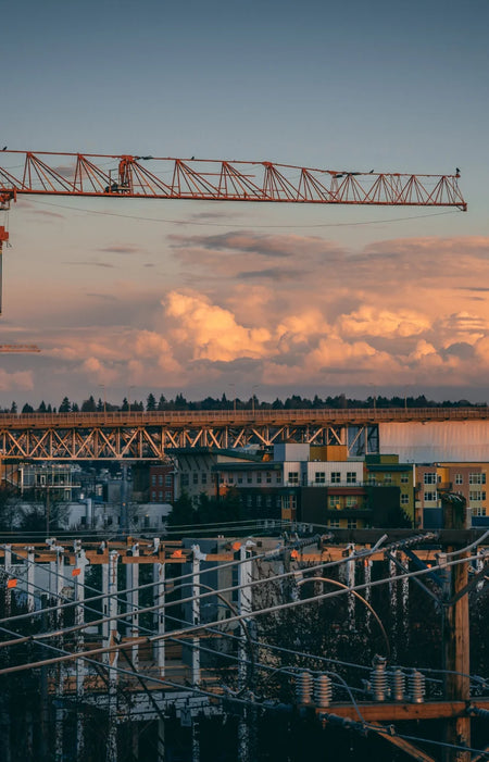
Asset Monitoring
Construction projects typically have hundreds of assets distributed throughout the project worksite. Tracking and monitoring them is essential for the safety of both the workers and the asset itself.
Drones can quickly capture high-res photos to keep a record of the site condition on any given day. These photos can then be annotated using post processing softwares or project management programs, downloaded as a report, and shared with project stakeholders.

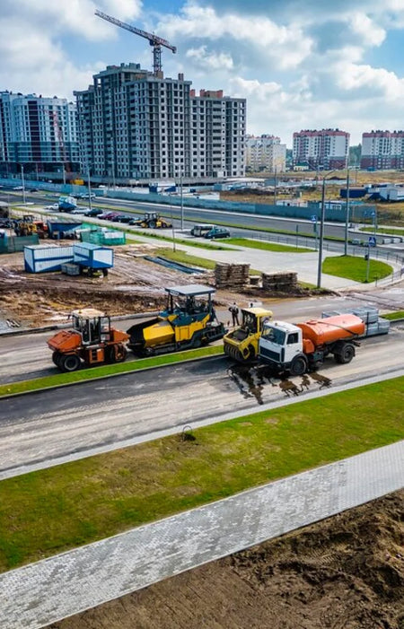
Volumetric Calculations
Volumetrics is one of the most popular use cases for drones on any construction project since the entire site can be captured in a couple of hours or less, drone data serves as an affordable source of timely and accurate information on volumes of stockpiles.
Drones can provide high-resolution images that can be processed in post processing softwares to derive accurate cut/fill volumes and other key analytics necessary for planning and tracking job progress.

3D Modeling
3D models can be generated from mutiple images to make construction sites more accessible and provide the ability to measure site attributes accurately. 3D models can also be used to pinpoint safety hazards, compare completed work against design documents.
With Real-time Kinematic (RTK) technology, drones are able to record accurate GPS information and geotags images as they’re captured during flight resulting to centimeter-level positioning data for improved absolute accuracy on image metadata. These digital representation of the site can be used as digital twins model to visualize the project site, maintain up-todate records, validate adherence to municipal codes, and run analysis to predict potential failures in the system.
Learn more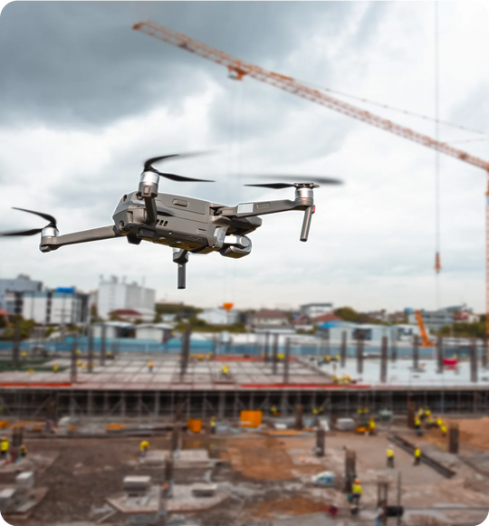
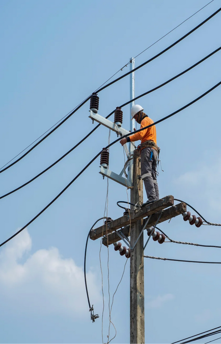
Site Inspection
Drone capabilities make site inspection quick, easy, and safe.

Safe Operation
Long-range remote capabilities aid in ensuring that the operator remains safe and on the ground.
Time Savings
Drones can cover larger areas in a shorter amount of time than a regular inspection crew.
Progress Monitoring
Progress updates for large projects are easier to check with the aerial inspection capabilities of drones.
As-built Imaging
Photogrammetry and smart obliques can be used to make as-built 3D models of structures
Documentation
Metadata embedded in the drone data facilitates accurate documentation of the project.
Advantages & Benefits
You get more when you work with Aero. Take your business growth to new heights with our enterprise drone solutions. Time Saving
Drones can be deployed and operational in a matter of minutes.
Cost Effective
Mapping and inspection jobs can be done quickly using UAVs, reducing man-hours and costs for the job.
Safe Operation
Long-range remote capabilities aid in ensuring that the operator remains safe and on the ground.
Increased Accuracy
With DJI RTK features, drone positional accuracy can reach up to <5cm levels.
Enhanced Data
Drone data is embedded in every image, facilitating report creation and annotation.
Adaptability
Different drone payloads allow for adaptability to almost any use-case.