
Application

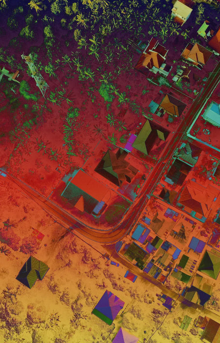
Aerial Surveying
In Agriculture , Aerial Surveying can help plan out your plantation by getting the detailed elevation data of your land.
In the Government, Aerial survey data allows for more efficient project progress monitoring, and land and water asset management.
LIDAR
Penetrate through vegetation and get the actual ground level with LIDAR payloads.
Rapid Deployment
Drones can cover large areas in a short amount of time. Get survey data at fraction the time needed for traditional methods.