Application

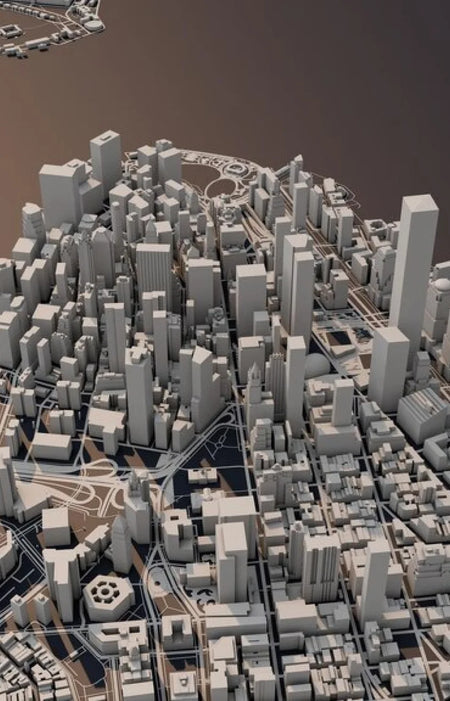
3D Rendering with Drones
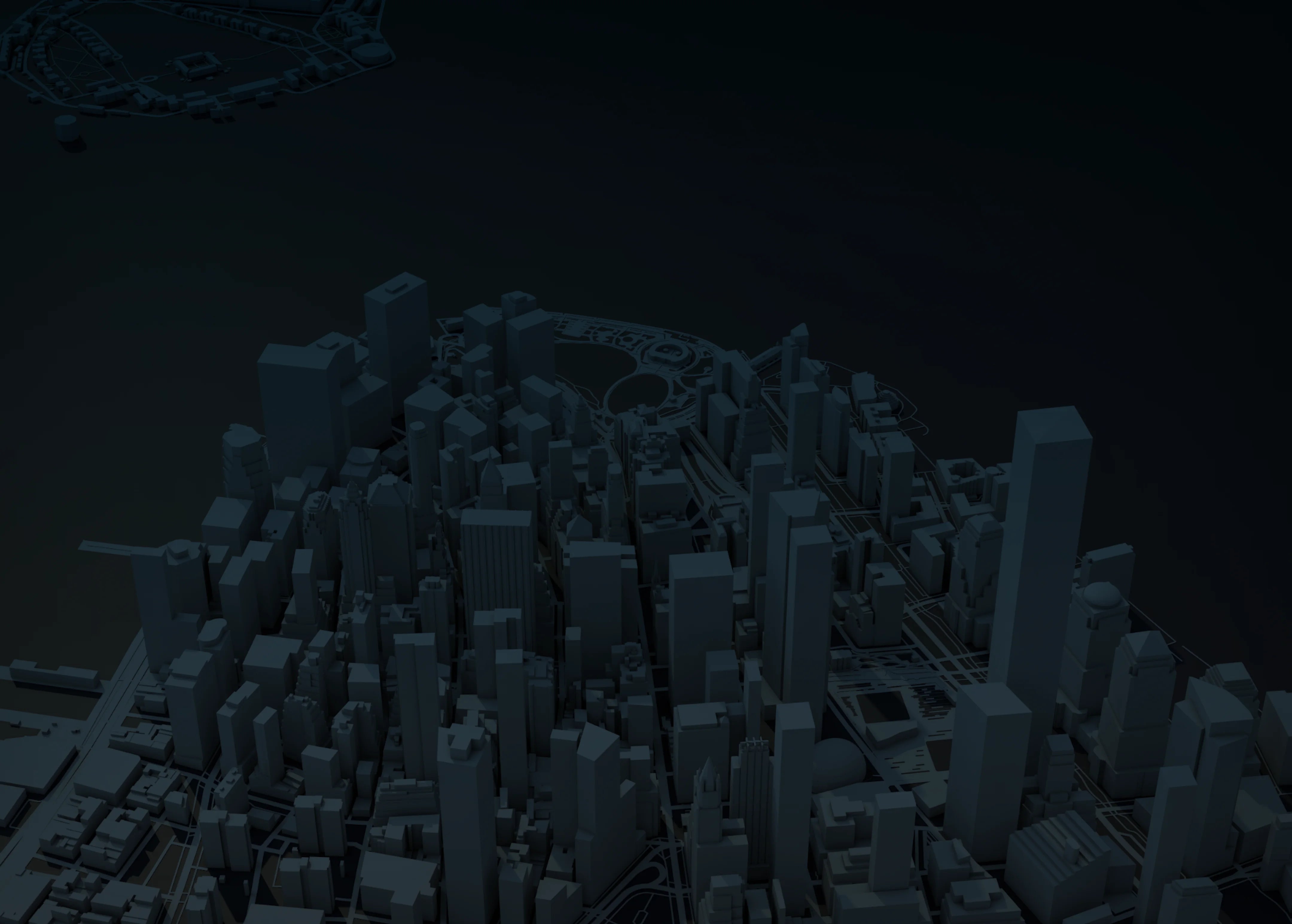
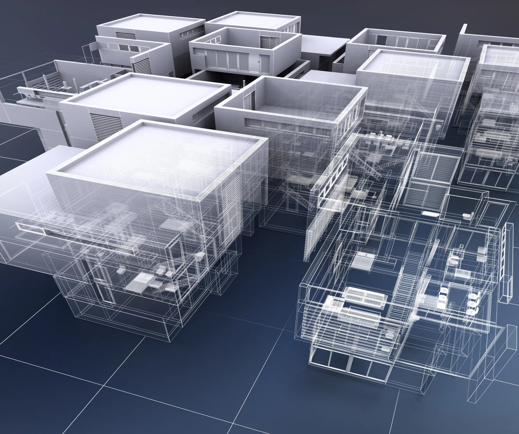
Used across Industries, 3D Rendering with drones use point clouds generated by LIDAR serve as the basis for the 3D model of the area you are inspecting.
LIDAR
Gather the most number of points with multiple returns from the LIDAR payload.
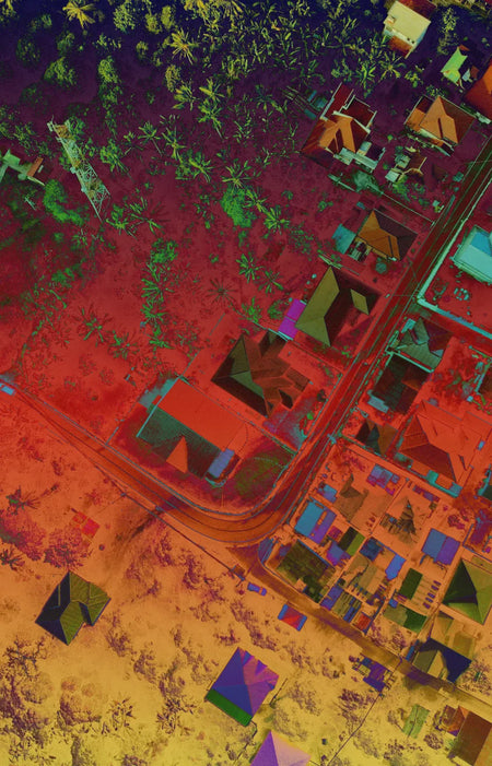
Colorized Data
The RGB sensor included in the L1 payload provides color for the point cloud data.