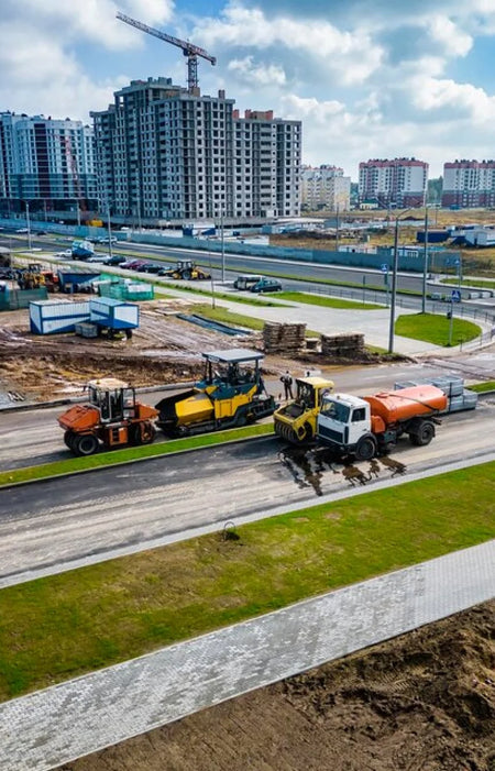
Aerial Mapping
Aerial mapping provides details unobstructed by clouds allowing the latest situational awareness of the terrain for unparalleled advantage.
Learn More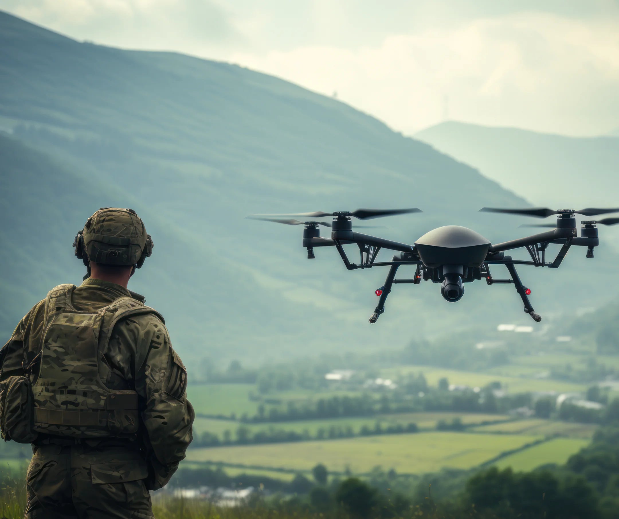
Training for CAAP RPA Controller
With a crew of experienced RPA Controllers, Aero can provide the necessary training and knowledge for future drone pilots.
Learn More
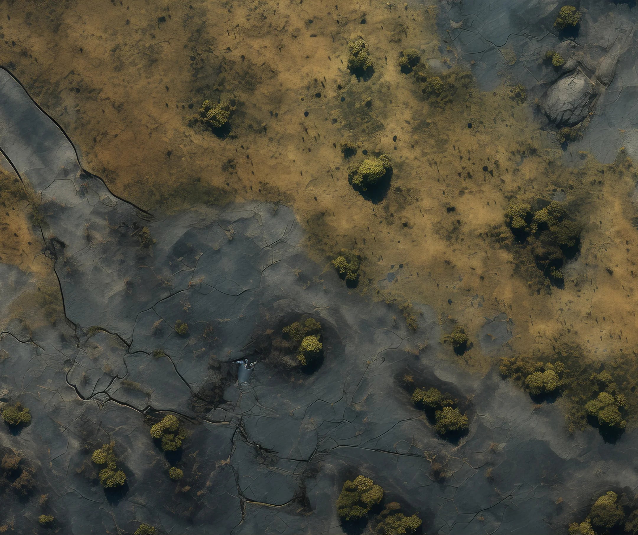
Aerial Mapping
Quickly generate accurate maps even in difficult terrain and achieve greater confidence with your next move.

Accurate Positioning
Drone images are geolocated so that positioning data is always on-hand.
Rapid Deployment
Drones can cover large areas in a short amount of time.

Operation in Low-visibility
Different sensors allow for data gathering even in low visibility situations.
Thermal Imaging
Thermal sensors detect heat which can help locating objects in the environment.
Night Vision
Starlight sensors make visual data obtainable even in low-light conditions.
Advantages & Benefits
You get more when you work with Aero. Take your business growth to new heights with our enterprise drone solutions. Time Saving
Drones can be deployed and operational in a matter of minutes.
Cost Effective
Mapping and inspection jobs can be done quickly using UAVs, reducing man-hours and costs for the job.
Safe Operation
Long-range remote capabilities aid in ensuring that the operator remains safe and on the ground.
Increased Accuracy
With DJI RTK features, drone positional accuracy can reach up to <5cm levels.
Enhanced Data
Drone data is embedded in every image, facilitating report creation and annotation.
Adaptability
Different drone payloads allow for adaptability to almost any use-case."