Application
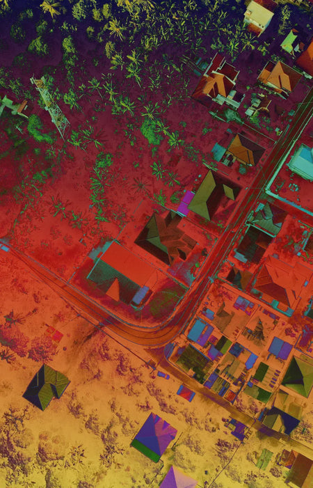
Inspection via Heat Maps
Thermal maps can provide another layer of data gathering for your requirements. Aero can help you identify thermal anomalies in your target area and their most probable cause.
Scans of larger areas using thermal cameras can help isolate where detailed on the ground inspection is needed the most.

Use Case

Preventive Maintenance
Thermal maps can be an important part of a solar plant maintenance program. Aero allows you to have a bird’s eye view of all your arrays to check for any damage or defects. Checking which arrays are damaged first can save time on more detailed inspection work.
Hotspot Identification
Thermal data can help improve solar farm maintenance programs.
Time Savings
Drones can cover larger areas in a shorter amount of time than a regular inspection crew.