Visual Inspection
With drones, operators to perform inspection faster, more efficient and safer as human operators can be in a safe location.
The drone take the challenges of high altitude, difficult terrain, temperature hazards, and other situations that can be harmful to people in an equivalent manual inspection using handheld cameras.
Thermal Inspection
Let people see the invisible heat radiation or infrared signature emitted or reflected by all objects regardless of lighting or visibility condition.
In combination with the drone technology it allows versatile and very mobile camera view that handheld thermal cameras cannot perform.
Learn more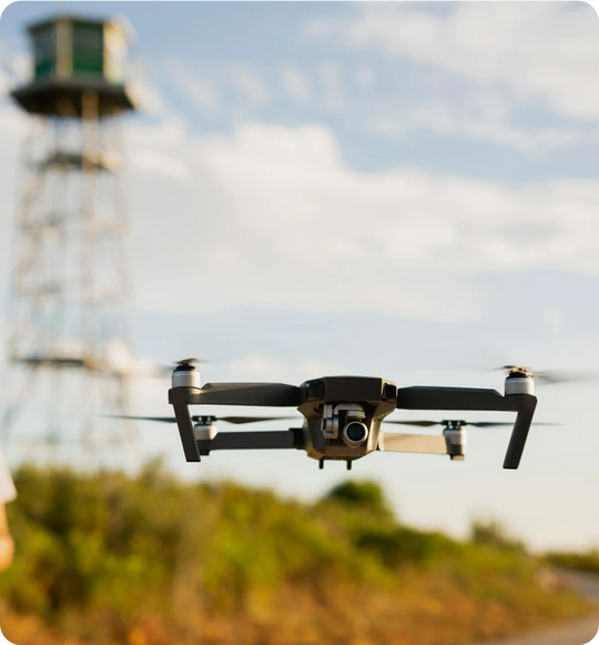
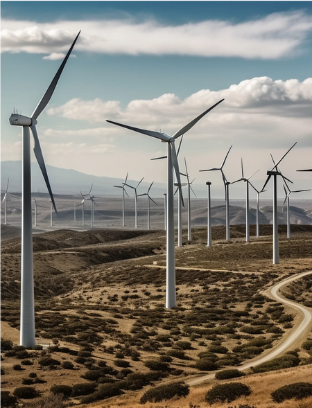
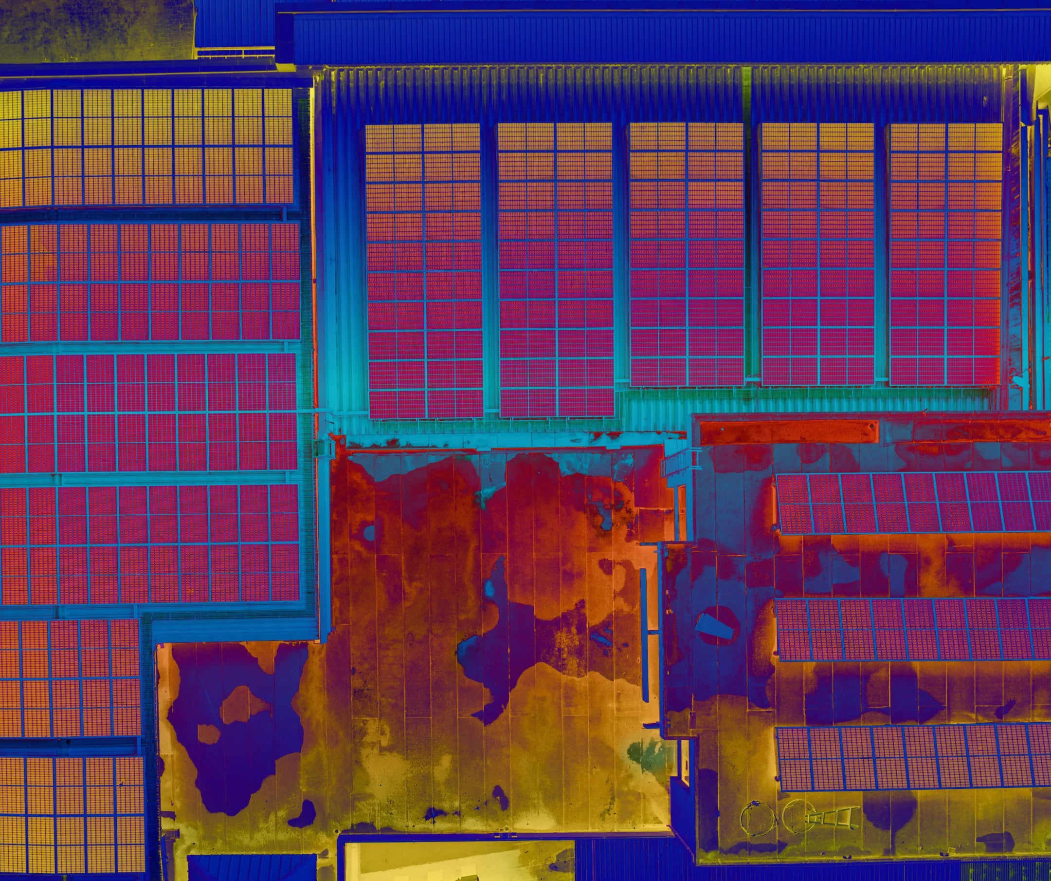
Solar Panel Inspection
Thermal imaging sensors detect temperature variations across the solar panels.
This data can help identify hotspots, malfunctions, or areas of inefficiency, improving maintenance planning and optimizing energy generation.

Hotspot Identification
Thermal data can help improve solar farm maintenance programs.
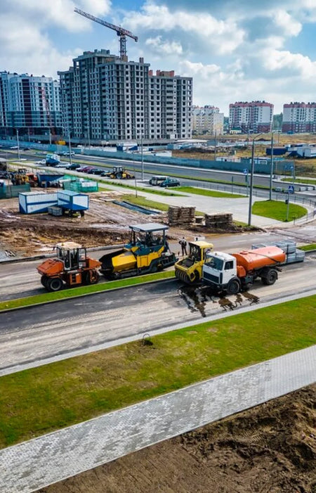
Time Savings
Drones can cover larger areas in a shorter amount of time than a regular inspection crew.
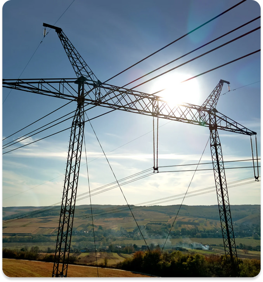
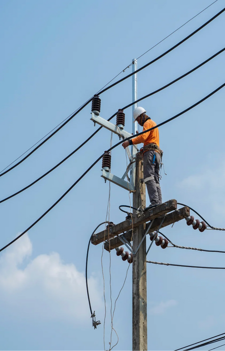
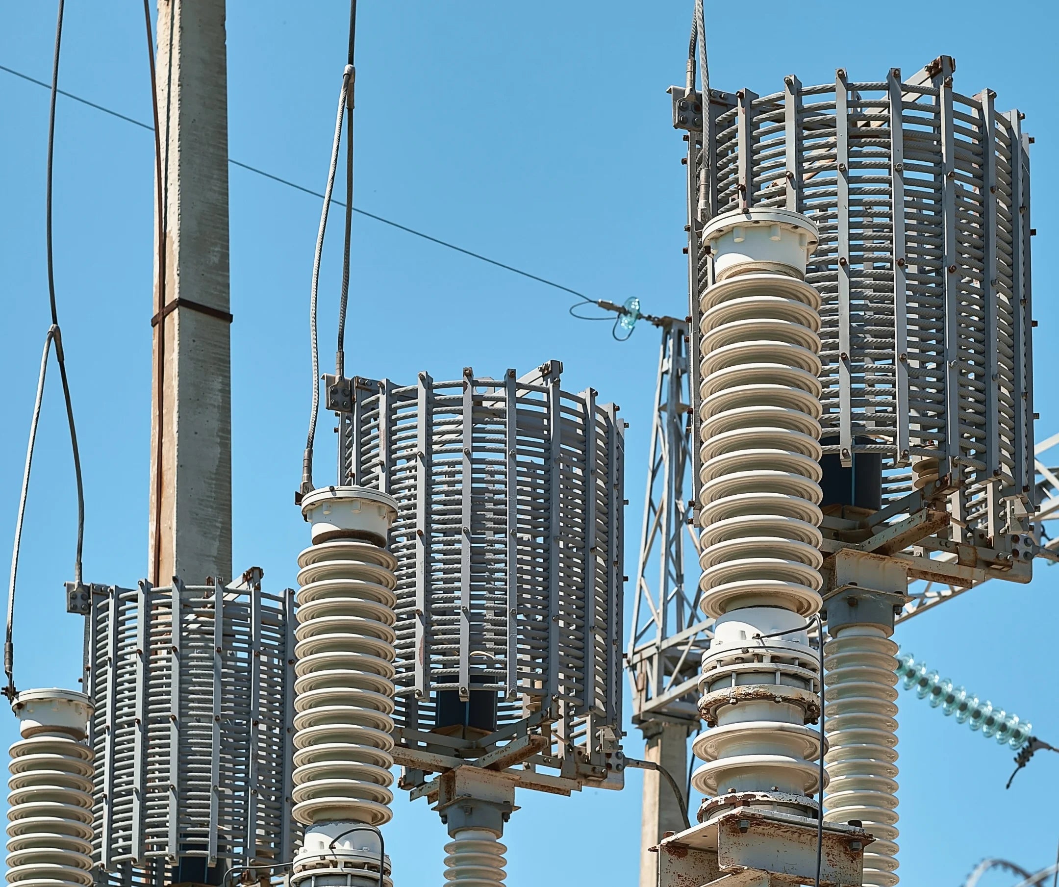
Pylon Inspection
Inspection is made easier with the exact location data in each photo allowing for accurate reporting.
Object selection, flight planning, and other automation features offer various options for the inspector’s mission plan.
High-resolution Zoom
High-resolution zoom cameras provide a high level of detail to images taken by the drone
Automated Flight Plans
Automated flight plans can provide an easy solution for routine inspection jobs.
Advantages & Benefits
You get more when you work with Aero. Take your business growth to new heights with our enterprise drone solutions. Time Saving
Drones can be deployed and operational in a matter of minutes.
Cost Effective
Mapping and inspection jobs can be done quickly using UAVs, reducing man-hours and costs for the job.
Safe Operation
Long-range remote capabilities aid in ensuring that the operator remains safe and on the ground.
Increased Accuracy
With DJI RTK features, drone positional accuracy can reach up to <5cm levels.
Enhanced Data
Drone data is embedded in every image, facilitating report creation and annotation.
Adaptability
Different drone payloads allow for adaptability to almost any use-case.