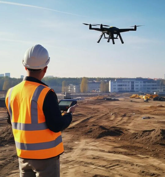
Application
Document your Milestones
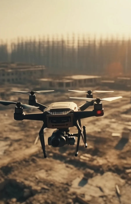
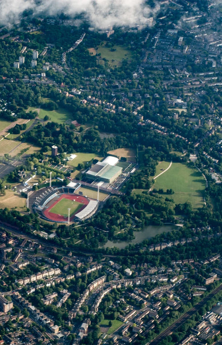
High-resolution aerial images on-demand can help validate how close your project is to completion. RTK positioning ensures that the photos taken during different times are all in the same place.
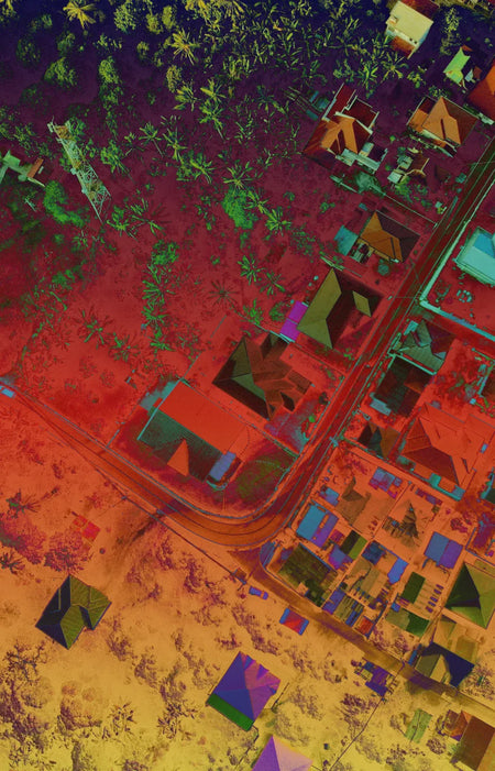
LiDAR data can also be used to provide 3D images of the area to have a more accurate representation of how the terrain has changed over the course of your project.
Use Case

Monitor Your Progress
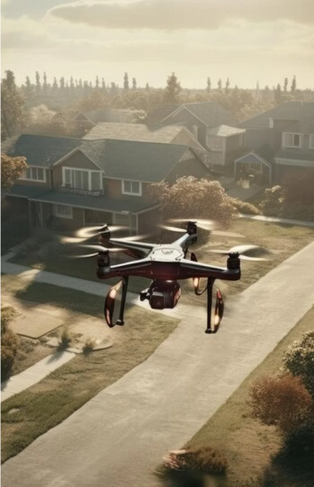
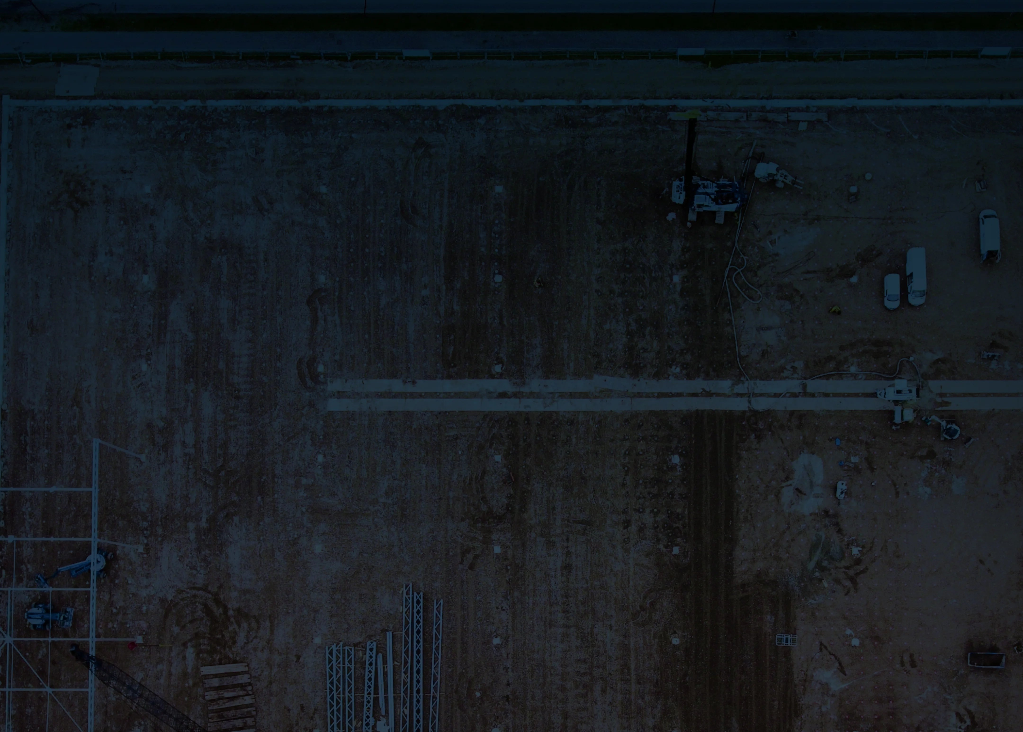
Visualize your project progress monitoring by having aerial maps generate at regular intervals. Track if the target sections are being built in-time and on-specification.
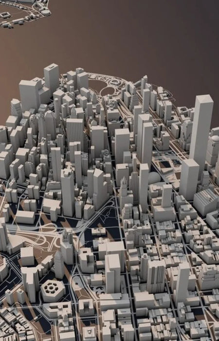
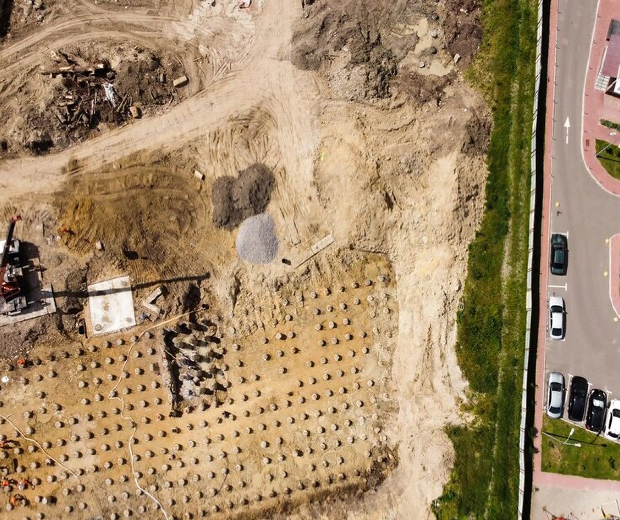
As-built Imaging
Photogrammetry and smart obliques can be used to make as-built 3D models of structures
Documentation
Metadata embedded in the drone data facilitates accurate documentation of the project.