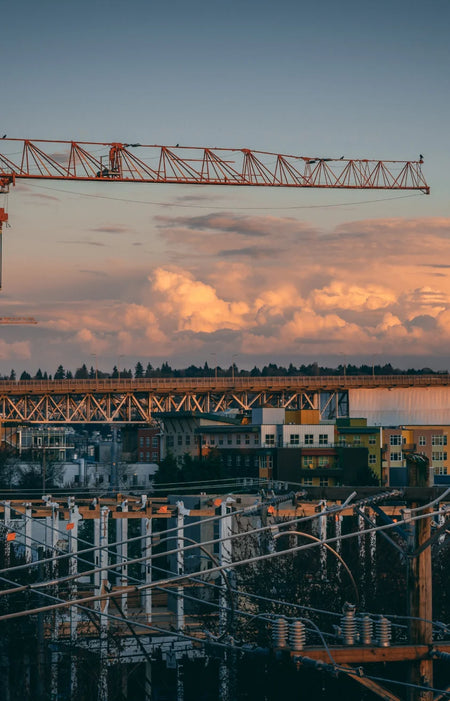
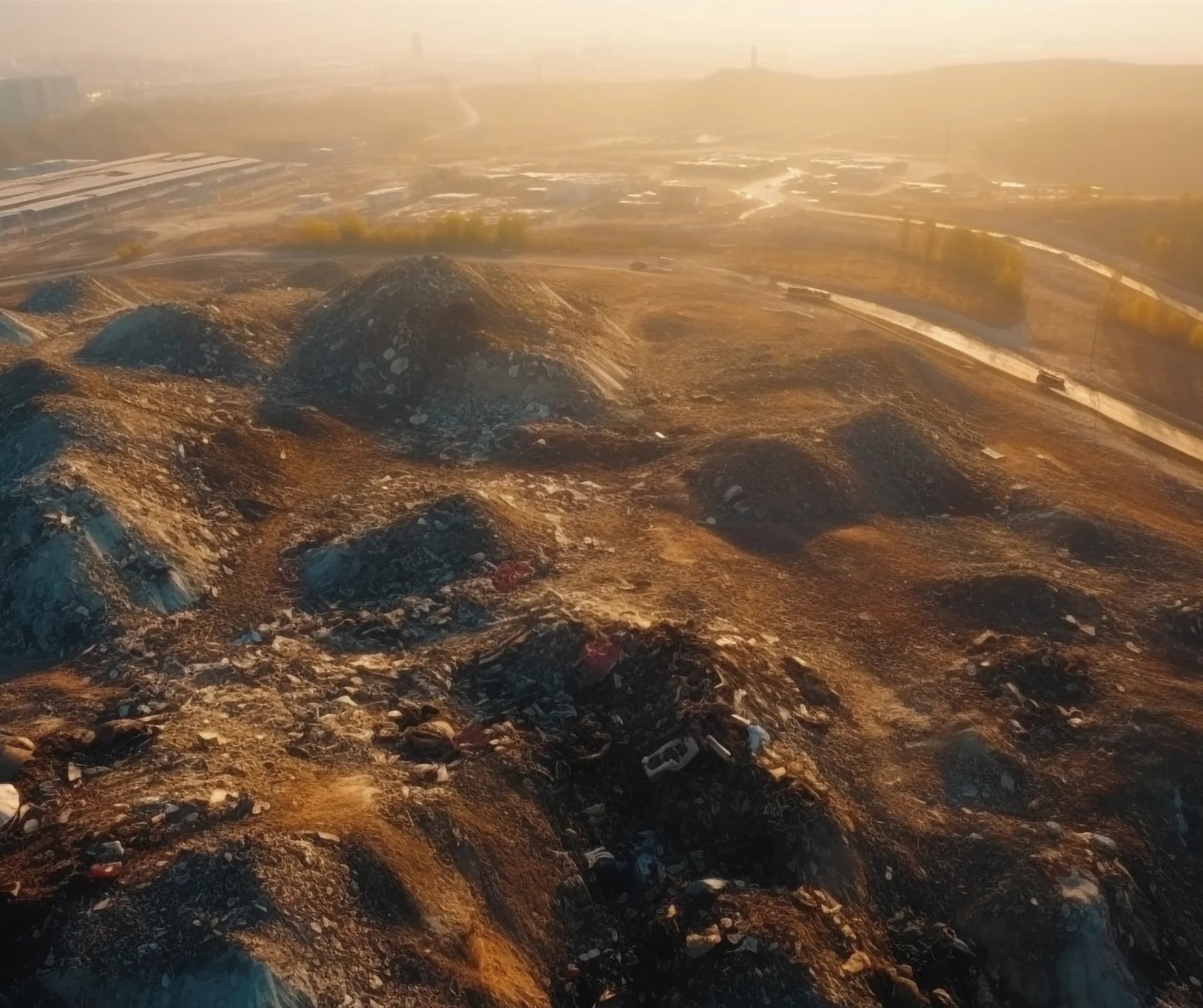
Aerial Surveying
Mining site planning can be derived from aerial surveying as orthomosaics and elevation models provide terrain information necessary for a streamlined mining operation.
Change in terrain after blasting can be tracked and recorded almost in real time and exposure of workers to hazard are reduced by operating drones remotely.
Learn more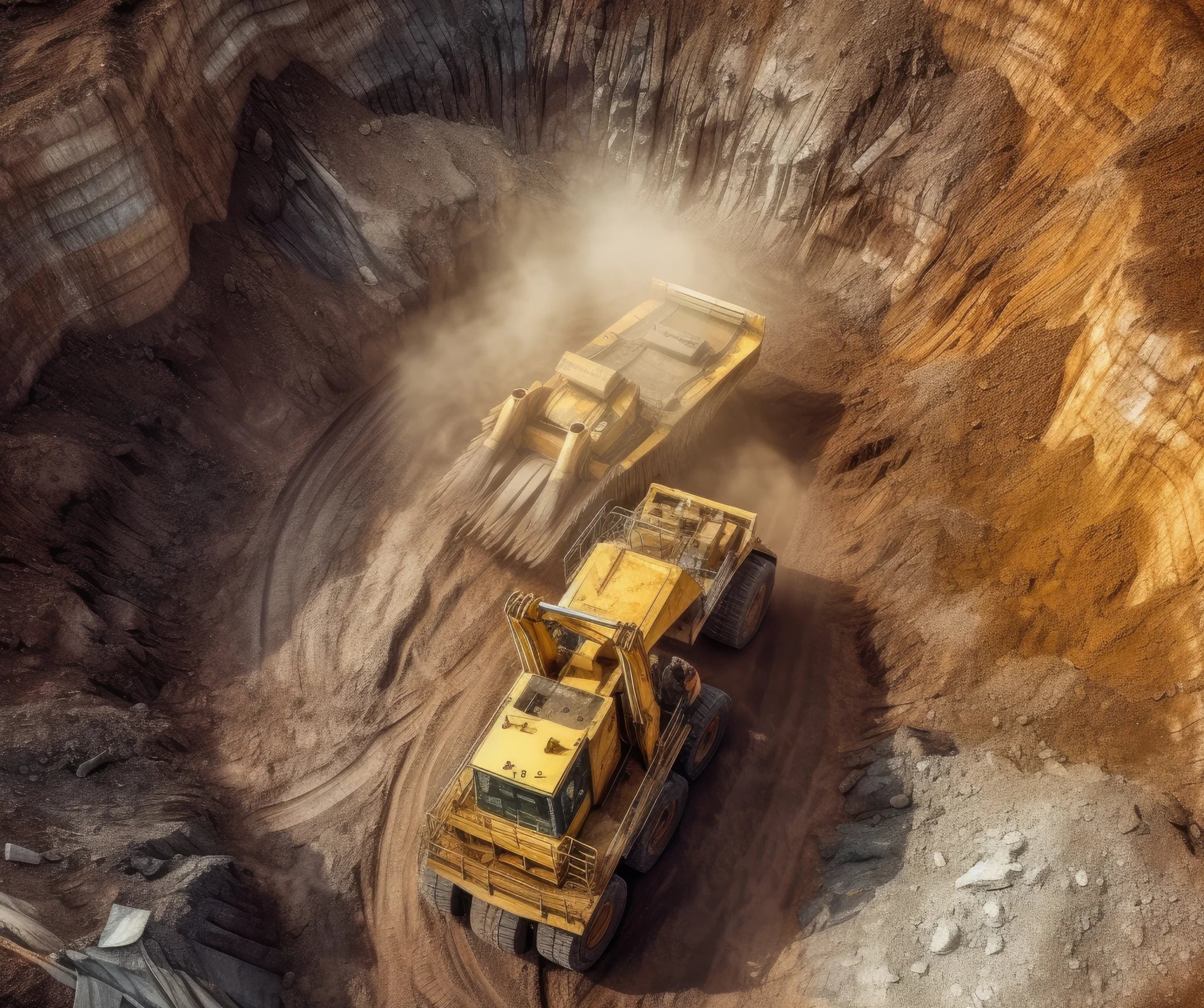
Volumetric Calculation
Measurement of stockpile, waste dump and other materials within mining sites from data captured in a couple of minutes to less than an hour provides timely and invaluable information.
Drones can provide high-resolution images that can be used in post processing softwares to derive accurate cut/fill volumes and other key analytics necessary for planning and tracking job progress.
Aerial Mapping
Quickly generate accurate maps even in difficult terrain.

Accurate Positioning
Drone images are geolocated so that positioning data is always on-hand.
Hazard Identification
Drones can aid in the identification and correction of terrain hazards.
Stockpile Management
Measure stockpile volumes without the need to climb on slopes.
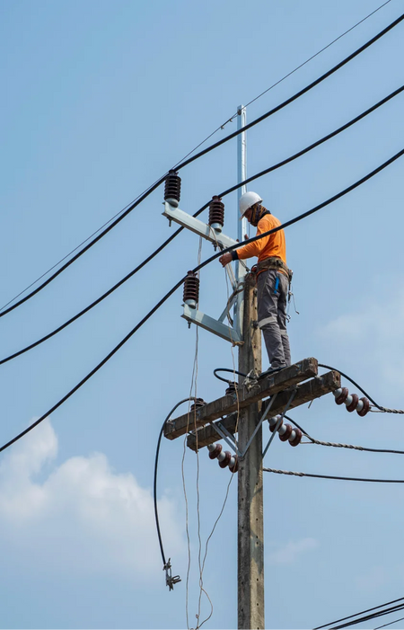
Safe Operation
Long-range remote capabilities aid in ensuring that the operator remains safe and on the ground.
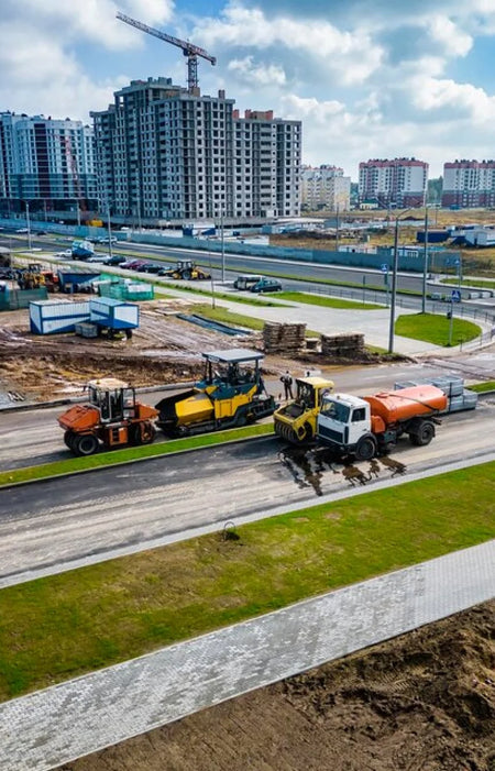
Rapid Deployment
Drones can cover large areas in a short amount of time.
Advantages & Benefits
You get more when you work with Aero. Take your business growth to new heights with our enterprise drone solutions. Time Saving
Drones can be deployed and operational in a matter of minutes.
Cost Effective
Mapping and inspection jobs can be done quickly using UAVs, reducing man-hours and costs for the job.
Safe Operation
Long-range remote capabilities aid in ensuring that the operator remains safe and on the ground.
Increased Accuracy
With DJI RTK features, drone positional accuracy can reach up to <5cm levels.
Enhanced data
Drone data is embedded in every image, facilitating report creation and annotation.
Adaptability
Different drone payloads allow for adaptability to almost any use-case.