Application

Progress Monitoring
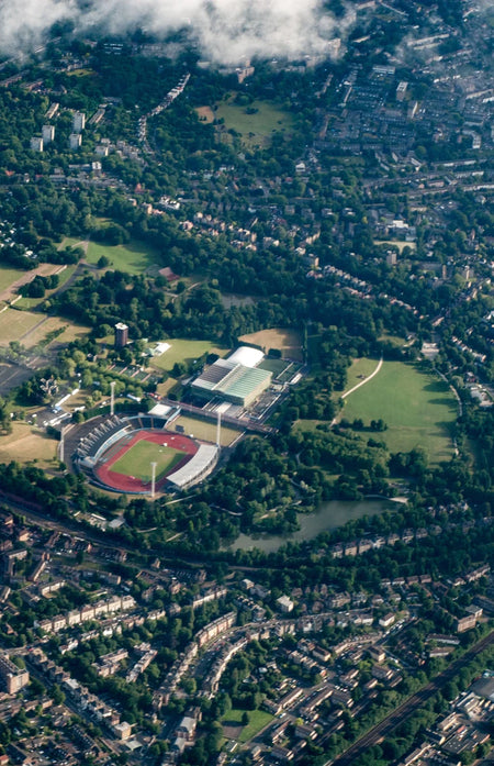
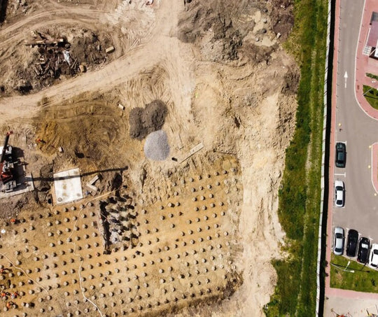
In the Government and Construction industry, progress updates for large projects are easier to check with the aerial inspection capabilities of drones.
As-built Imaging
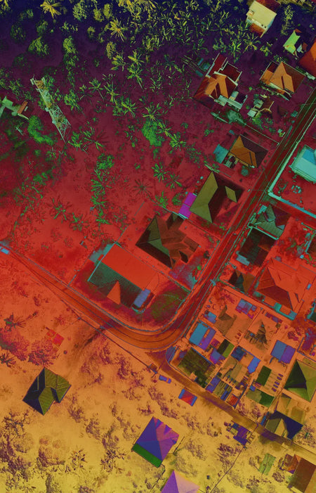
Photogrammetry and smart obliques can be used to make as-built 3D models of structures.
Documentation
Metadata embedded in the drone data facilitates accurate documentation of the project.