Application
As is, Where Is
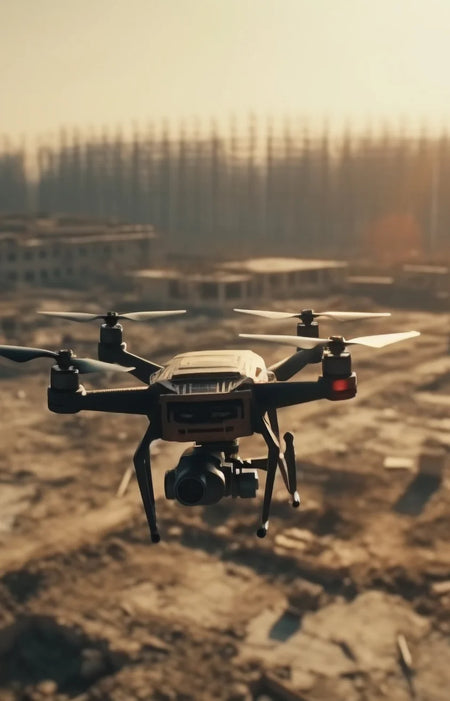
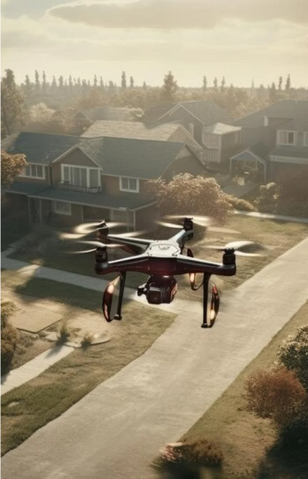
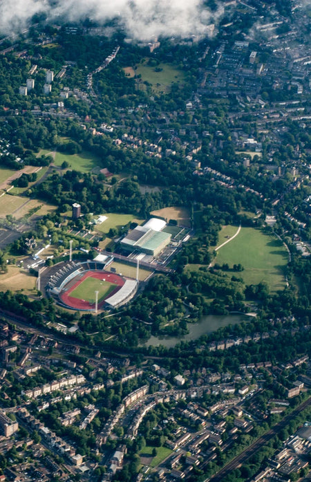
Drone 3D models are used to inspect property and assets safely and more efficiently. These 3D renderings can show problem areas from which can be tagged to be included in maintenance work.
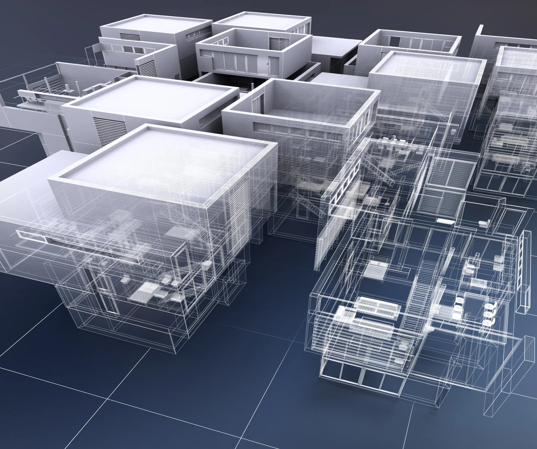
Aero can render the current state of your project exactly how it is, where it is. Include terrain elevation and other features based on your specific requirement.

Use Case

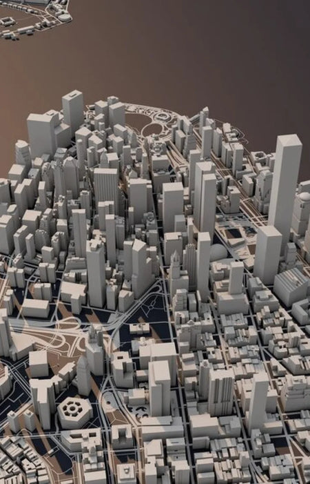
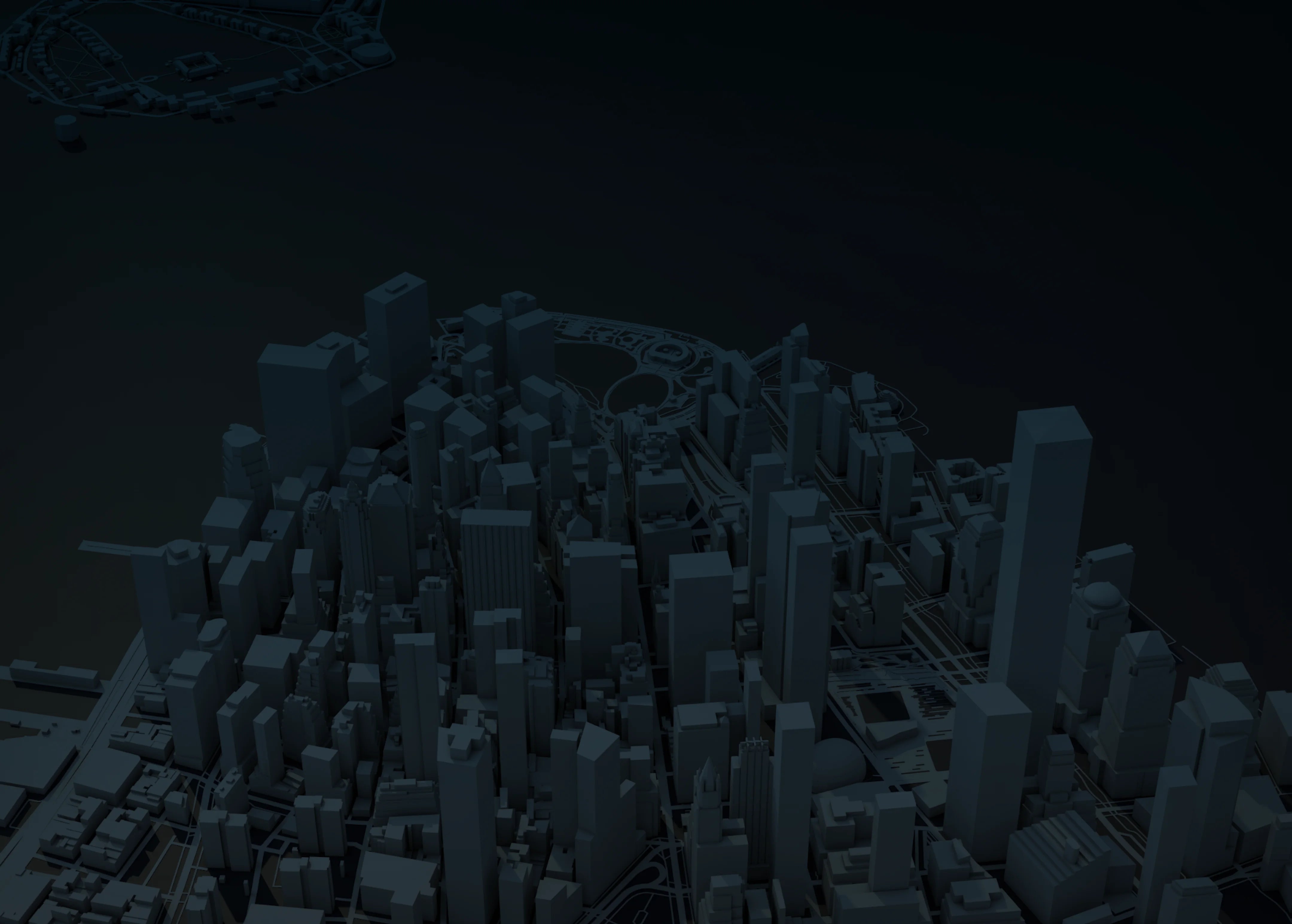
Render from Point Clouds
Point clouds generated by LIDAR serve as the basis for the 3D model of the area you are inspecting. Multiple returns can help reduce errors caused by obstructions.
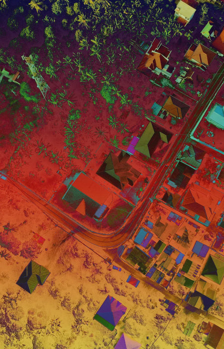
LiDAR
Aero’s LiDAR payloads ensures the most number of points with multiple returns
Colorized data
The RGB sensor included in the L1 payload provides color for 3D render