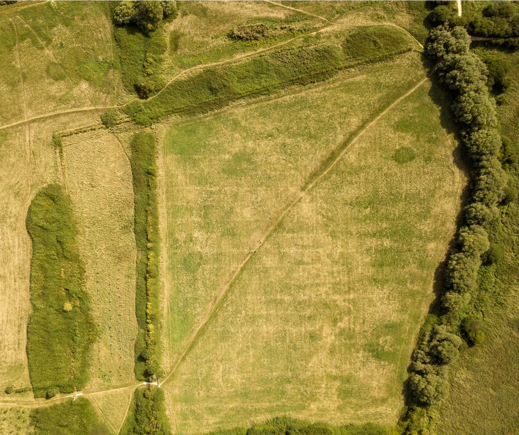
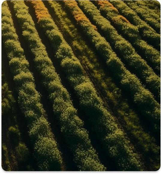
Aerial Mapping
Careful planning for the utilization of the land by applying GIS based decision making allows efficient land and crop management.
Learn more
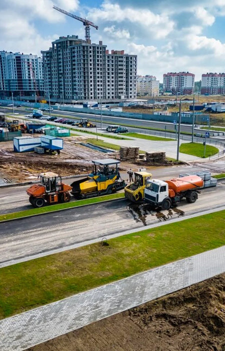
Aerial Surveying
Contour maps generated from aerial surveying provides necessary information for proper layout of the land and water management.
Learn more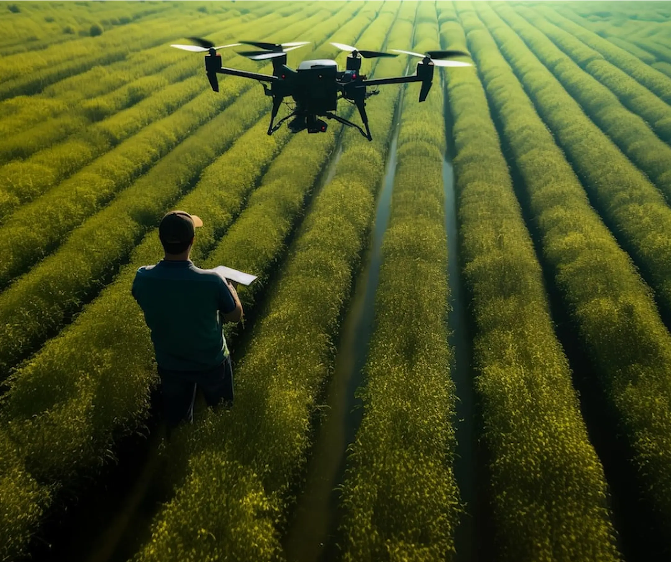
Plant Health Mappping
Multispectral imaging provides the baseline for precision agriculture allowing farmers to identify which plants need additional nutrients for better yeild.
Learn more
Crop Monitoring
Multispectral sensors can highlight changes in the health of crops. It is in the section of the light spectrum called the red edge band that the first signs of stress start to show.

Nutrient Monitoring
Mulitspectral data allows you to identify which plants need additional nutrients for better yield
Disease Identification
Drone data can also help identify plant diseases allowing for early treatment
Field inspection
Drones enable rapid inspection of large areas of farmland. This facilitates faster decision making on how to maximize yields.
Damage Inspection
Drones can help show areas that have been damaged by pests and the extent affected.
Plantation Planning
Mapping data taken by drones can help plan the layout of the farm based on existing terrain features.
Advantages & Benefits
You get more when you work with Aero. Take your business growth to new heights with our enterprise drone solutions. Time Saving
Drones can be deployed and operational in a matter of minutes.
Cost Effective
Mapping and inspection jobs can be done quickly using UAVs, reducing man-hours and costs for the job.
Safe Operation
Long-range remote capabilities aid in ensuring that the operator remains safe and on the ground.
Increased Accuracy
With DJI RTK features, drone positional accuracy can reach up to <5cm levels.
Enhanced data
Drone data is embedded in every image, facilitating report creation and annotation.
Adaptability
Different drone payloads allow for adaptability to almost any use-case.