Application
Aerial Mapping
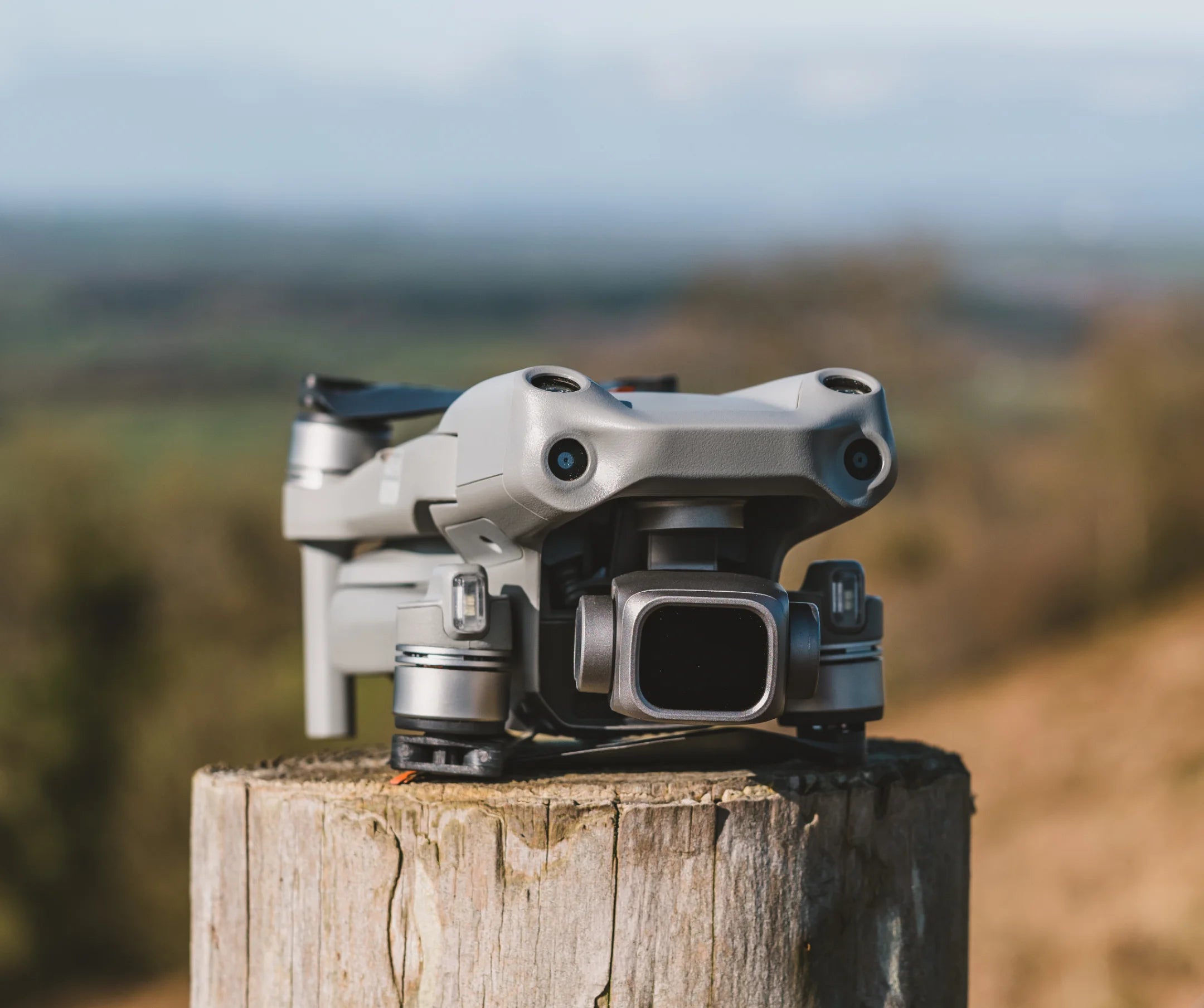
Training for basic mapping will involve the utilization of Mavic 3 Enterprise to capture high-resolution imageries of a specific area and create the necessary detailed orthomosaic maps, elevation models, and three-dimensional models.
Aero can provide the necessary training, knowledge and basic concept of drone mapping ranging from pre-flight preparation, mission planning, flight operations, and basic image processing.

Make High-resolution Maps
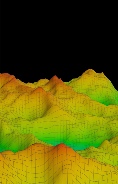
Every pixel of your generated map contains 2-dimension coordinates (X, Y). This orthomosaic map allows for accurate measurements and surface area calculations.

Aerial Mapping
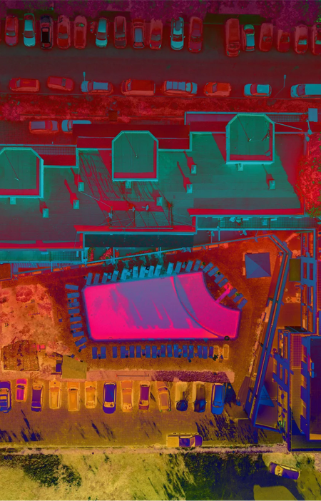
Generate maps and detailed overlays using DJI Terra.
As-built Imaging
Use photogrammetry and smart obliques make as-built 3D models of structures