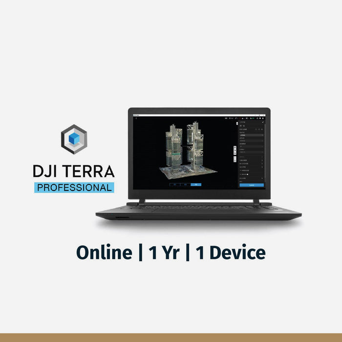
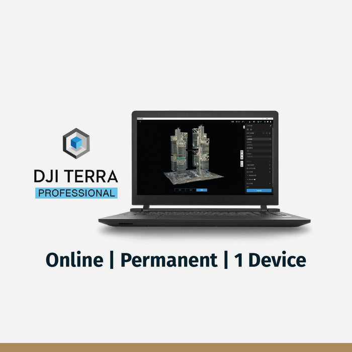


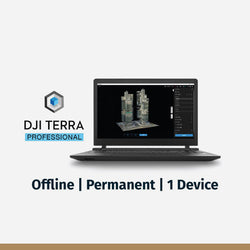

DJI Terra Pro Overseas Software
DJI Terra is a cutting-edge 3D model reconstruction software that utilizes photogrammetry as its foundational technology. It offers precise and efficient 2D and 3D reconstruction capabilities for visible light and is also compatible with DJI LiDAR data processing. DJI Terra is seamlessly integrated with DJI Enterprise drones and payloads, creating a holistic application solution suitable for various industries such as land surveying, mapping, power transmission, emergency services, construction, transportation, and agriculture.
*Note: Required for processing LIDAR data from L2 payload
Key Features and Highlights:
- 3D Models: Generate realistic 3D models in three resolutions (high, medium, and low). AI technology optimizes water surfaces in the model, and it supports various industry-standard export formats.
- 2D Maps: The software boasts an optimized algorithm for different scenarios, ensuring high processing efficiency and detailed, accurate measurement results.
- LiDAR Processing: Process point cloud data captured by the Zenmuse LiDAR with features like route calculation, point cloud and visible light data fusion, and more.
- Multispectral Data Processing: Produce vegetation index maps, including NDVI and NDRE, using multispectral data from DJI Mavic 3 Multispectral and P4 Multispectral.
- Real-time 3D and 2D Mapping: Render and visualize 3D models or generate 2D orthomosaics in real-time, ideal for on-site decision-making.
- Detailed Inspection Mission Planning: Automate inspection workflows by generating waypoints and flight routes based on selected points in a 3D model or point cloud.
- Seamless Workflows: Incorporate POS data, GCPs, or both to create georeferenced maps and models with enhanced accuracy. Convert coordinates into over 8500 major coordinate systems.
- Intuitive Analysis Tools: Acquire key dimensions across terrains with tools for linear, area, and volumetric measurements. Edit labels for improved communication throughout projects.
DJI Terra is not just software; it's a comprehensive solution that transforms real-world scenarios into valuable digital assets, making it an indispensable tool for professionals across various sectors.
You may also like
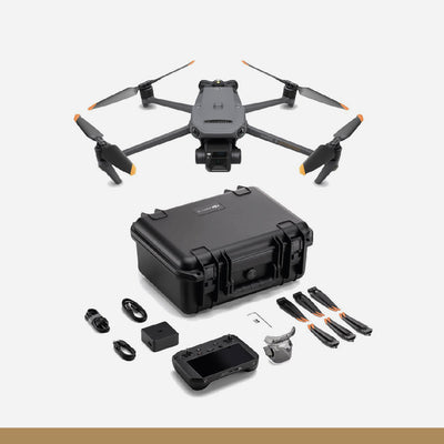
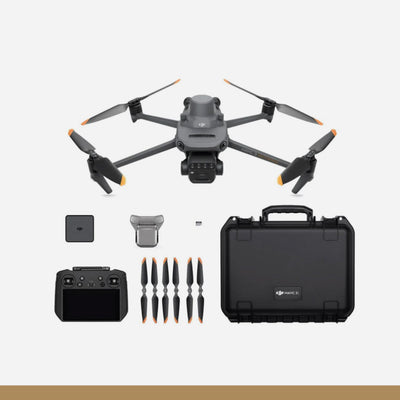
DJI Mavic 3 Enterprise
Drone
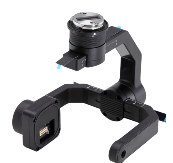
DJI Mavic 3 Enterprise Series RTK Module
Drone Accessories
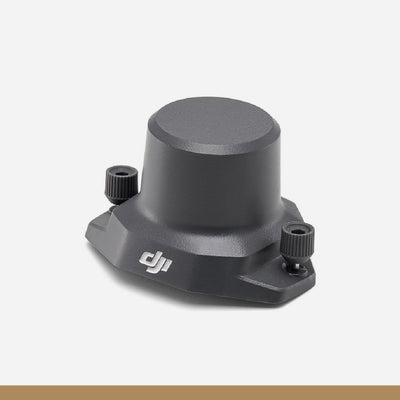
DJI Speaker for Mavic 3 Enterprise
Drone Accessories
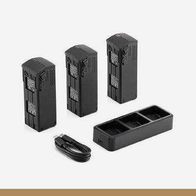
DJI Mavic 3 Enterprise Series Battery Kit
Drone Accessories
DJI Mavic 3 Multispectral
Drone
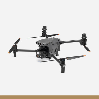
DJI Matrice 30
Drone
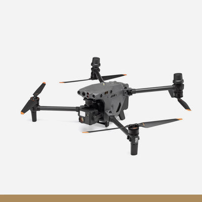
DJI Matrice 30T Enterprise Drone
Drone
DJI M30 TB30 Batteries
Drone Accessories
DJI Matrice 350 TB65 Intelligent Flight Battery
Drone Accessories
DJI Zenmuse L2
Drone Accessories
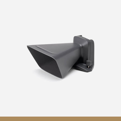
DJI Zenmuse P1
Drone Accessories
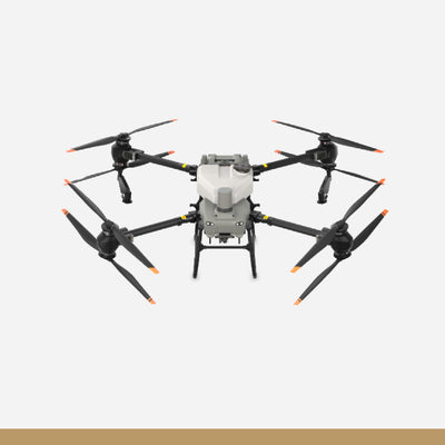
DJI AGRAS T50
Drone
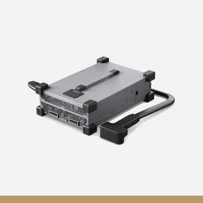
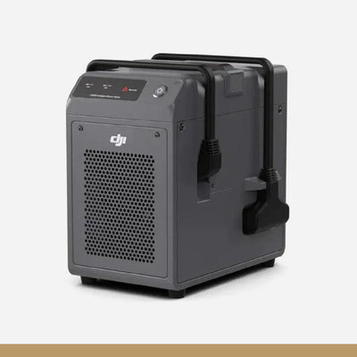
C10000 Intelligent Power Supply
Drone Accessories
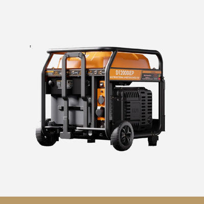
D12000iE Multifunctional Inverter Generator
Drone Accessories
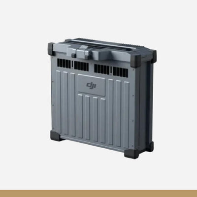
DB1560 Intelligent Flight Battery
Drone Accessories
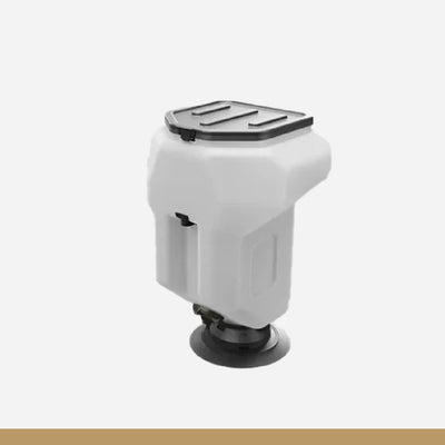
T50 Atomized Sprinkler Package
Drone Accessories
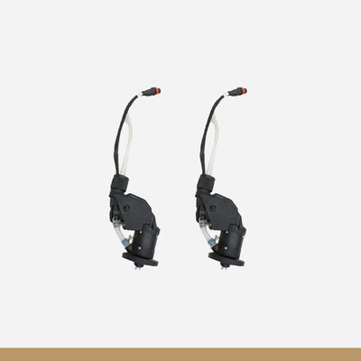
T50 Spreading System
Drone Accessories

DJI AGRAS T25
Drone
C8000 Intelligent Power Supply
Drone Accessories

D6000i Multifunctional Inverter Generator
Drone Accessories