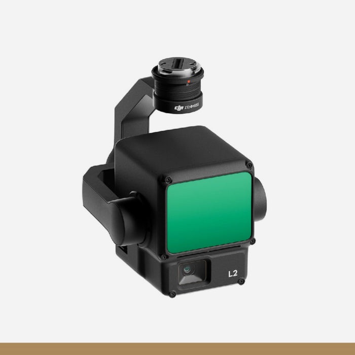
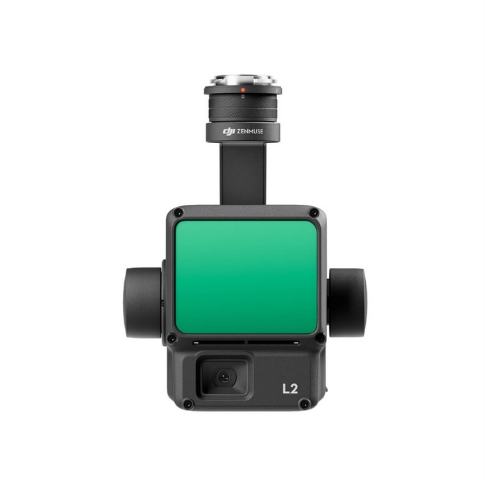
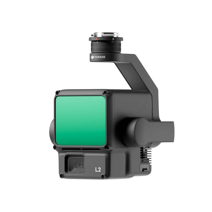


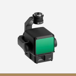
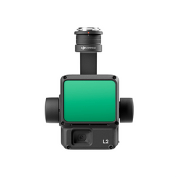
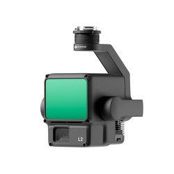
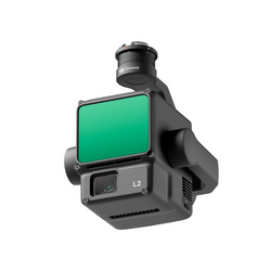
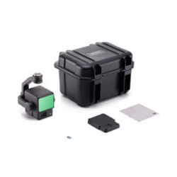
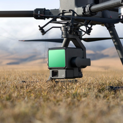
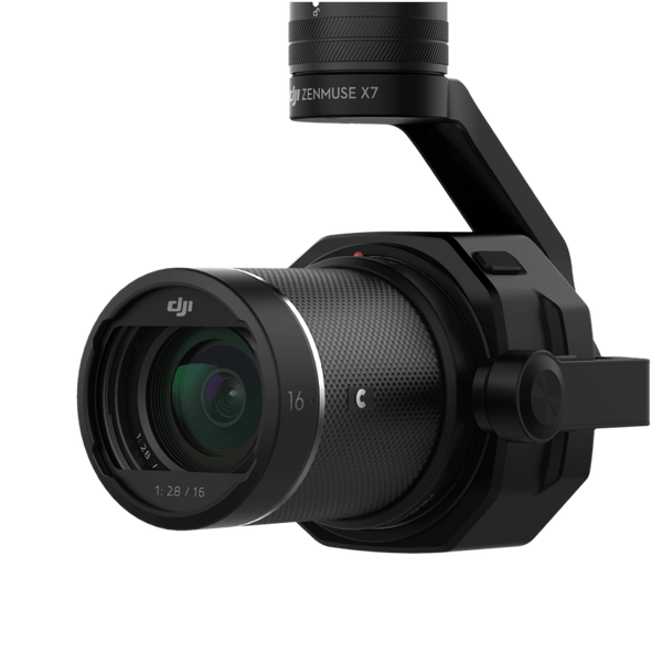
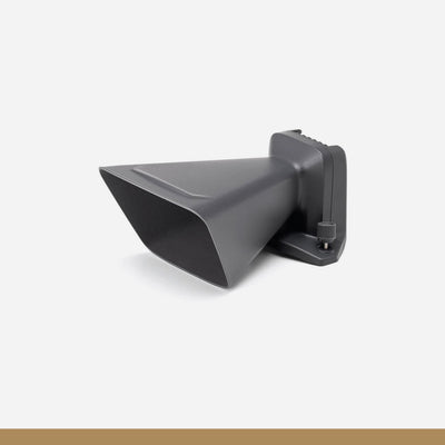
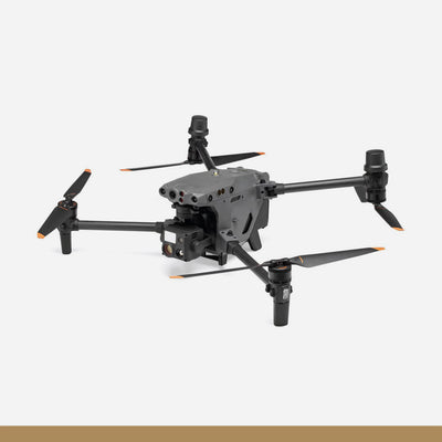
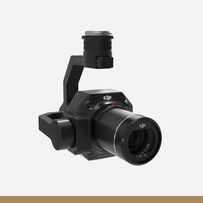
DJI Zenmuse L2
- Map, Survey & Inspect with High Accuracy
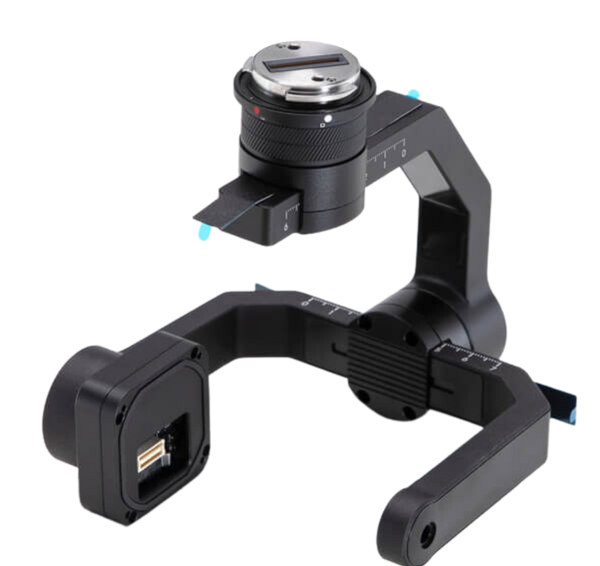
- LiDAR & RGB Cameras on 3-Axis Gimbal
- Small 1.6 x 4.7" Dot Size
- Capture 240,000 Points per Second
- 20MP RGB with 0.7-Second Image Interval
- Highly Accurate IMU System
- Detection Range of 820 to 1476'
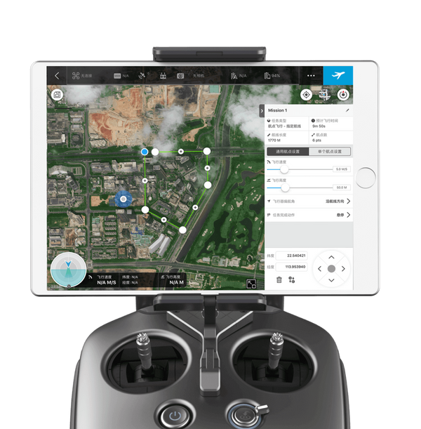
- Waypoint, Aera & Linear Route Types
- No Warm-Up Needed When Powered On
- DJI Care Enterprise Basic Plan Included
Product Specifications
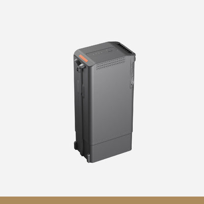
| General | 5880 mAh |
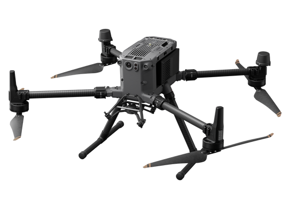
| Compatibility | DJI Matrice 300 RTK with DJI RC Plus / Matrice 350 RTK |
| Camera Type | LiDAR Ranging Accuracy (RMS 1σ): 0.8" @ 492' Maximum Returns: 5 FOV (Repetitive Scanning): Horizontal 70°, Vertical 3° FOV (Non-Repetitive Scanning): Horizontal 70°, Vertical 75° Minimum Detection Range: 9.8' Laser Beam Divergence: Horizontal 0.2 mrad, Vertical 0.6 mrad Laser Wavelength: 905 nm Laser Spot Size: Horizontal 1.6", vertical 4.7" @ 328' (FWHM) Laser Pulse Emission Frequency: 240 kHz Laser Safety: Class 1 (IEC 60825-1:2014) Accessible Emission Limit (AEL): 233.59 nJ Reference Aperture: Effective Aperture: 23.85 mm (Equivalent to Circular) Max Laser Pulse Emission Power Within 5 Nanoseconds: 46.718 W |
| Camera Type | RGB Mapping Camera Sensor: 4/3 CMOS, 20 MP FOV: 84° Equivalent: 24 mm Aperture: f/2.8 to f/11 Focus Points: 3.3' to Infinity (With Autofocus) Mechanical Shutter: 2-1/2000 Sec. Electronic Shutter: 2-1/8000 Sec. Shutter: 200,000 Photo: 5280×3956 (4:3) Still (Single Shot & Timed): 20 MP JPEG Timed Interval: 0.7/1/2/3/5/7/10/15/20/30/60 Seconds RAW/JPEG + RAW Timed Interval: 2/3/5/7/10/15/20/30/60 Seconds Video Codec & Resolution: H.264, 3840 × 2160 @ 30 fps, and 1920 × 1080 @ 30 fps ISO (Video/Photo): 100-6400 Bitrate: 4K @ 85 Mb/s, 1080p @ 30 Mb/s File System: exFAT Formats: JPEG/DNG (RAW)/MP4 (MPEG-4 AVC/H.264) |
| Camera Type | Gimbal Stabilization System: 3-Axis (Tilt, Roll, and Pan) Angular Vibration Range: 0.01° Mounting: Detachable DJI SKYPORT Mechanical Range (Tilt): - 143° to + 43° Mechanical Range (Pan): ±105° Controllable Range (Tilt): -120° to +30° Controllable Range (Pan): ±90° Operation Mode: Follow, Free, and Re-Center |
| System | Detection Range: 1476.4' @ 50% Reflectivity, 0 klx and 820.2' @10% Reflectivity, 100 klx Point Cloud Rate: Single Return Max. 240,000 pts/s, Multiple Returns: Max. 1,200,000 pts/s Accuracy (Horizontal): 2" @ 492' Accuracy (Vertical): 1.6" @ 492' IMU Update Frequency: 200 Hz Accelerometer Range: ±6 g Angular Velocity Meter Range: ±300 dps Yaw Accuracy (RMS 1σ): Real-time: 0.2°, Post-Processing: 0.05° Pitch/Roll Accuracy (RMS 1σ): Real-time: 0.05°, Post-Processing: 0.025° |
| System | Horizontal Positioning Accuracy: RTK FIX: 0.4" + 1 ppm Vertical Positioning Accuracy: RTK FIX: 0.6" + 1 ppm Raw Data Storage: Photo, IMU, Point Cloud, GNSS, and Calibration Files Point Cloud Data Storage: Real-Time Modeling Data Storage microSD: Sequential Writing @ 50 Mb/s or Above, UHS-1 Speed Grade 3 or Above, Up to 256 GB |
| Wireless | |
| Wireless | Yes |
| Mobile App Compatible | No |
| Power | |
| Power Source | Proprietary Interface |
| Power Consumption | 28 W (Typical) 58 W (Maximum) |
| Environmental | Black |
| Storage Temperature | -4 to 140°F / -20 to 60°C |
| Physical | 22.8 x 14.1 x 10" / 580 x 358 x 254 mm |
| Color | Black |
| Cable Length | Not Specified by Manufacturer |
| Dimensions | 6.9 x 6.1 x 5" / 176 x 155 x 128 mm |
| Weight | 2 lb / 905 g |
You may also like
DJI Mavic 3 Enterprise
Drone
DJI Mavic 3 Enterprise Series RTK Module
Drone Accessories
DJI Speaker for Mavic 3 Enterprise
Drone Accessories
DJI Mavic 3 Enterprise Series Battery Kit
Drone Accessories
DJI Mavic 3 Multispectral
Drone
DJI Matrice 30
Drone
DJI Matrice 30T Enterprise Drone
Drone
DJI M30 TB30 Batteries
Drone Accessories
DJI Matrice 350 TB65 Intelligent Flight Battery
Drone Accessories
DJI Zenmuse P1
Drone Accessories
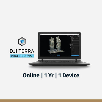
DJI Terra Pro Overseas Software
Drone Software
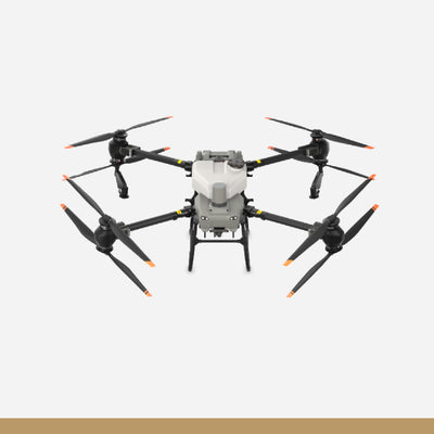
DJI AGRAS T50
Drone
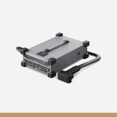
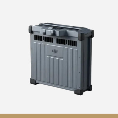
C10000 Intelligent Power Supply
Drone Accessories
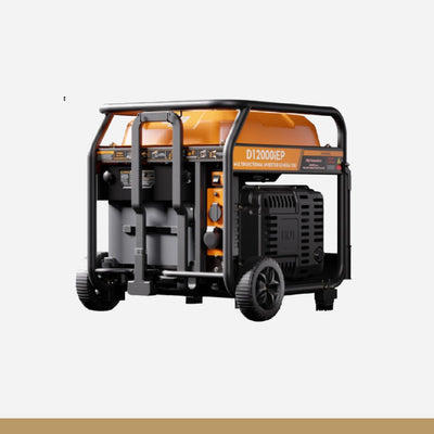
D12000iE Multifunctional Inverter Generator
Drone Accessories
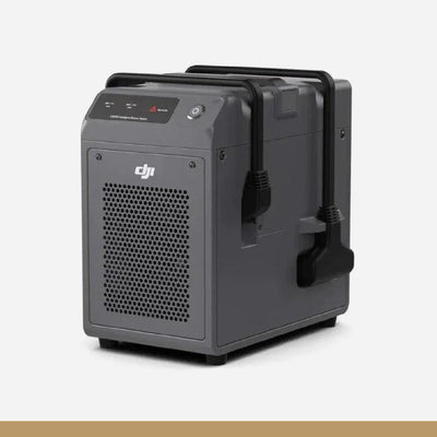
DB1560 Intelligent Flight Battery
Drone Accessories
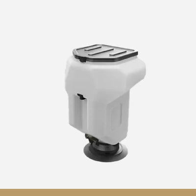
T50 Atomized Sprinkler Package
Drone Accessories
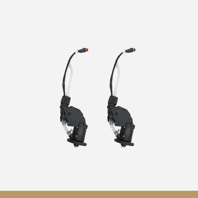
T50 Spreading System
Drone Accessories

DJI AGRAS T25
Drone
C8000 Intelligent Power Supply
Drone Accessories
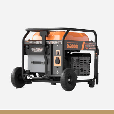
D6000i Multifunctional Inverter Generator
Drone Accessories