


DJI Matrice 4E
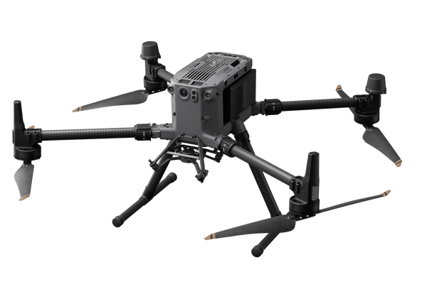
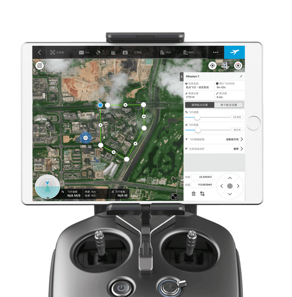
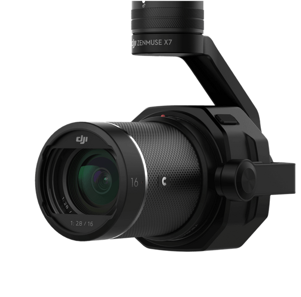
The DJI Matrice 4E is a compact, intelligent enterprise drone designed for precision surveying, mapping, construction, and mining operations. Equipped with a high-performance multi-camera system, mechanical shutter, and laser rangefinder, it delivers detailed aerial imagery and efficient data collection for professional geospatial applications.
Specifications
|
Category |
Specification |
|---|---|
|
Camera System |
|
|
Wide-Angle Camera |
20 MP, 4/3-inch CMOS |
|
Medium Tele Camera |
48 MP, 1/1.3-inch CMOS |
|
Tele Camera |
48 MP, 1/1.5-inch CMOS |
|
Wide Camera Focal Length |
24 mm equivalent |
|
Medium Tele Focal Length |
70 mm equivalent |
|
Tele Camera Focal Length |
168 mm equivalent |
|
Wide Camera Aperture |
f/2.8–f/11 |
|
Mechanical Shutter |
Yes |
|
Maximum Photo Resolution |
5280 × 3956 (Wide) |
|
Video Resolution |
4K at 30 fps |
|
Flight Performance |
|
|
Maximum Flight Time |
49 minutes |
|
Maximum Hovering Time |
42 minutes |
|
Maximum Flight Distance |
35 km |
|
Maximum Horizontal Speed |
21 m/s |
|
Maximum Wind Resistance |
12 m/s |
|
Maximum Takeoff Altitude |
6,000 m |
|
Navigation & Sensing |
|
|
GNSS |
GPS, Galileo, BeiDou, GLONASS* |
|
RTK Support |
Yes |
|
Laser Rangefinder |
Yes, up to 1,800 m |
|
Obstacle Sensing |
Omnidirectional vision system with 3D infrared sensor |
|
Physical Specifications |
|
|
Takeoff Weight |
1,219 g (standard propellers) |
|
Maximum Takeoff Weight |
1,420 g (standard propellers) |
|
Operating Temperature |
-10°C to 40°C |
|
Transmission |
|
|
Transmission System |
O4 Enterprise |
|
Maximum Transmission Distance |
25 km (FCC) |
*GLONASS is supported only when the RTK module is enabled. Flight and transmission figures are DJI laboratory specifications and depend on operating conditions and regional regulations.
You may also like
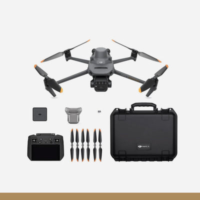
DJI Mavic 3 Multispectral
Drone
DJI Matrice 350 TB65 Intelligent Flight Battery
Drone Accessories
DJI Zenmuse L2
Drone Accessories
DJI Zenmuse P1
Drone Accessories

DJI Terra Pro Overseas Software
Drone Software
C10000 Intelligent Power Supply
Drone Accessories
D12000iE Multifunctional Inverter Generator
Drone Accessories
DB1560 Intelligent Flight Battery
Drone Accessories
C8000 Intelligent Power Supply
Drone Accessories
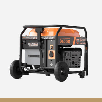
D6000i Multifunctional Inverter Generator
Drone Accessories

DB800 Intelligent Flight Battery
Drone Accessories

XAG B13960S P-Series Smart Battery
Drone Accessories

XAG Generator SuperCharger GC4000+
Drone Accessories

XAG Battery Cooling Tank
Drone

XAG ARC3 Pro Remote Controller (withRTK) (INTL)
Drone Accessories

XAG P100 Pro Agricultural Unmanned Drone (INTL)
Drone

XAG RealTerra 2 P1000
Drone Accessories

XAG RevoSpray P3 (INTL) Sprayer base module
Drone Accessories

XAG Station Tripod
Drone Accessories

XAG Strap
Drone Accessories